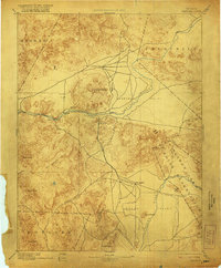
1894 Map of Wabuska
USGS Topo · Published 1921About this map
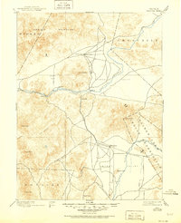
The Carson River and Walker River systems define the drainage of this late-nineteenth-century Nevada landscape, where early transit routes followed the natural corridors between high desert peaks. Surveyed in the late 1880s, the map highlights the junction of water and rail near the Walker Lake Indian Reservation. The presence of Stockton Well and Alkali Flat underscores the importance of reliable water sources for travelers and ranchers in this arid territory.
Find a feature on this map
28 named features on this map. Tap any name to fly to it.
Don’t see what you’re looking for? This feature index may not catch every label — zoom into the map to look around manually.
Map Details
Editions of this 1894 Wabuska Map
6 editions found

Other maps of this area

1889 · Markleeville
USGS Topo · 1:125,000

1890 · Wadsworth
USGS Topo · 1:125,000

1891 · Carson
USGS Topo · 1:125,000

1891 · Markleeville
USGS Topo · 1:125,000

1891 · Wabuska
USGS Topo · 1:125,000

1891 · Reno
USGS Topo · 1:125,000

1891 · Wellington
USGS Topo · 1:125,000

1892 · Wadsworth
USGS Topo · 1:125,000

1893 · Carson
USGS Topo · 1:125,000

1893 · Markleeville
USGS Topo · 1:125,000