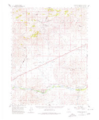
1957 Map of Churchill Butte
USGS Topo · Published 1980About this map
Ramsey and Clifton stand as remnants of Nevada's early 20th-century mining landscape within this 1957 survey of Lyon and Storey counties. The map captures a transition from the industrial heights of the Ramsey-Comstock Mine and Blackhawk Mine to a developing agricultural and conservation corridor along the Carson River. The southern portion of the map is anchored by Fort Churchill State Park, where the river's path is tracked by early irrigation works like the Howard and Ditch and Koch Ditch. This geography reflects a classic Great Basin pattern, where the high peaks of the Virginia Range and Pine Nut Mountains gave way to resource extraction, while the Churchill Valley below supported transportation via the Southern Pacific railroad and early aviation at the Churchill Landing Strip.
Find a feature on this map
45 named features on this map. Tap any name to fly to it.
Don’t see what you’re looking for? This feature index may not catch every label — zoom into the map to look around manually.
Map Details
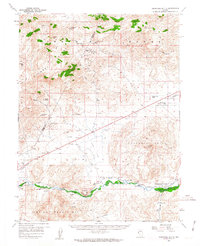
Editions of this 1957 Churchill Butte Map
3 editions found

Other maps of this area

1890 · Wadsworth
USGS Topo · 1:125,000

1891 · Carson
USGS Topo · 1:125,000

1891 · Wabuska
USGS Topo · 1:125,000

1891 · Reno
USGS Topo · 1:125,000

1892 · Wadsworth
USGS Topo · 1:125,000

1893 · Carson
USGS Topo · 1:125,000

1893 · Reno
USGS Topo · 1:125,000

1894 · Wadsworth
USGS Topo · 1:125,000

1894 · Wabuska
USGS Topo · 1:125,000

1950 · Virginia City
USGS Topo · 1:62,500