
1950 Map of Virginia City
USGS Topo · Published 1955About this map
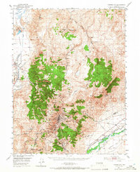
Virginia City and the surrounding mining districts are documented in this mid-century survey, which reveals the intense industrial density of the Comstock Lode. The landscape is a complex network of shafts and claims, including the Utah Shaft, Union Shaft, and Keystone, interspersed with several Cem locations that mark the human toll of the era. The mapping shows the transition of several early settlements, labeling Sutro (Site) and Lousetown (Site) as historical locations while Gold Hill and Silver City remain central nodes of activity.
Find a feature on this map
76 named features on this map. Tap any name to fly to it.
Don’t see what you’re looking for? This feature index may not catch every label — zoom into the map to look around manually.
Map Details
Editions of this 1950 Virginia City Map
3 editions found
Other maps of this area

1890 · Wadsworth
USGS Topo · 1:125,000

1891 · Carson
USGS Topo · 1:125,000

1891 · Wabuska
USGS Topo · 1:125,000

1891 · Reno
USGS Topo · 1:125,000

1892 · Wadsworth
USGS Topo · 1:125,000

1893 · Carson
USGS Topo · 1:125,000

1893 · Reno
USGS Topo · 1:125,000

1894 · Wadsworth
USGS Topo · 1:125,000

1894 · Wabuska
USGS Topo · 1:125,000

1950 · Mt. Rose
USGS Topo · 1:62,500