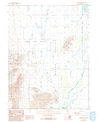
1987 Map of Mason Butte
USGS Topo · Published 1993About this map
Mason Valley agriculture and heavy mineral industry intersect in this late-twentieth-century study of the Nevada landscape near Yerington. The western edge of the map is defined by the steep Singatse Range, where extensive mining activity is documented through numerous prospects, adits, and the State Mine. This industrial footprint extends south toward the massive Tailings and Tailings Pond complexes, illustrating the scale of local extraction operations during this era.
Find a feature on this map
34 named features on this map. Tap any name to fly to it.
Don’t see what you’re looking for? This feature index may not catch every label — zoom into the map to look around manually.
Map Details
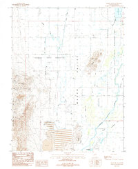
Editions of this 1987 Mason Butte Map
2 editions found
Other maps of this area

1891 · Wabuska
USGS Topo · 1:125,000

1891 · Wellington
USGS Topo · 1:125,000

1893 · Wellington
USGS Topo · 1:125,000

1894 · Wabuska
USGS Topo · 1:125,000

1948 · Walker Lake
USGS Topo · 1:250,000

1957 · Walker Lake
USGS Topo · 1:250,000

1957 · Wellington
USGS Topo · 1:62,500

1957 · Como
USGS Topo · 1:62,500

1957 · Wabuska
USGS Topo · 1:62,500

1957 · Yerington
USGS Topo · 1:62,500