
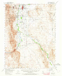
1957 Map of Yerington
USGS Topo · Published 1959About this map
Yerington serves as the focal point of this 1957 survey, situated at the crossroads of a high-desert agricultural valley and a legacy of heavy industrial mining. The landscape is defined by the intricate irrigation network of the Walker River, where numerous man-made channels like Merritt Ditch and Missouri Flat Ditch support the fertile Missouri Flat. To the west, the Singatse Range reveals the area's copper mining heritage through the Montana-Yerington Mine, Bluestone Mine, and the planned community at Weed Heights. The Nevada Copper Belt Railroad traces a path through the valley, connecting the town with outlying settlements such as Mason and Nordyke. From the education hubs at Sanders School and Barrett School to the geothermal waters at Wilson Hot Spring, the map details a community deeply integrated with its desert environment.
Find a feature on this map
68 named features on this map. Tap any name to fly to it.
Don’t see what you’re looking for? This feature index may not catch every label — zoom into the map to look around manually.
Map Details
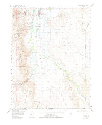
Editions of this 1957 Yerington Map
3 editions found
Other maps of this area

1891 · Wabuska
USGS Topo · 1:125,000

1891 · Wellington
USGS Topo · 1:125,000

1893 · Wellington
USGS Topo · 1:125,000

1894 · Wabuska
USGS Topo · 1:125,000

1908 · Carson Sink
USGS Topo · 1:250,000

1909 · Hawthorne
USGS Topo · 1:250,000

1910 · Carson Sink
USGS Topo · 1:250,000

1911 · Hawthorne
USGS Topo · 1:250,000

1915 · Hawthorne
USGS Topo · 1:250,000

1948 · Walker Lake
USGS Topo · 1:250,000