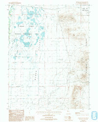
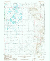
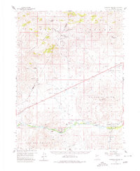
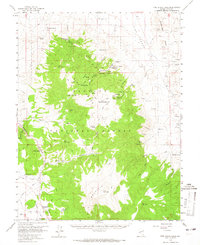
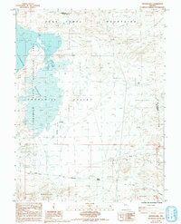
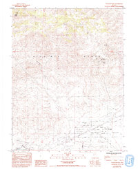
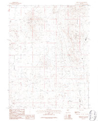
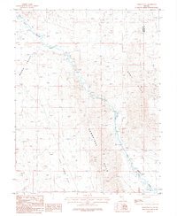
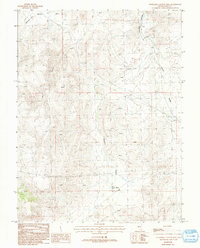
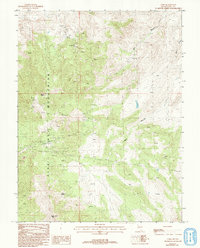
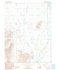
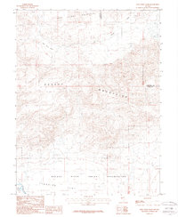
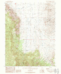
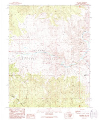
1987 Map of Hinkson Slough
USGS Topo · Published 1993About this map
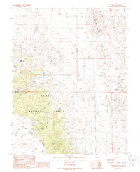
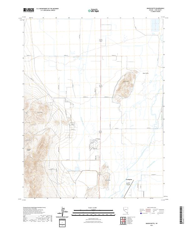
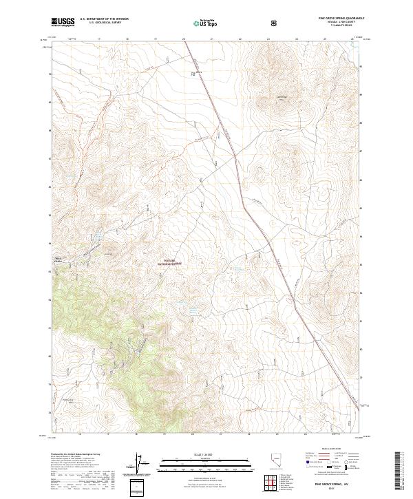
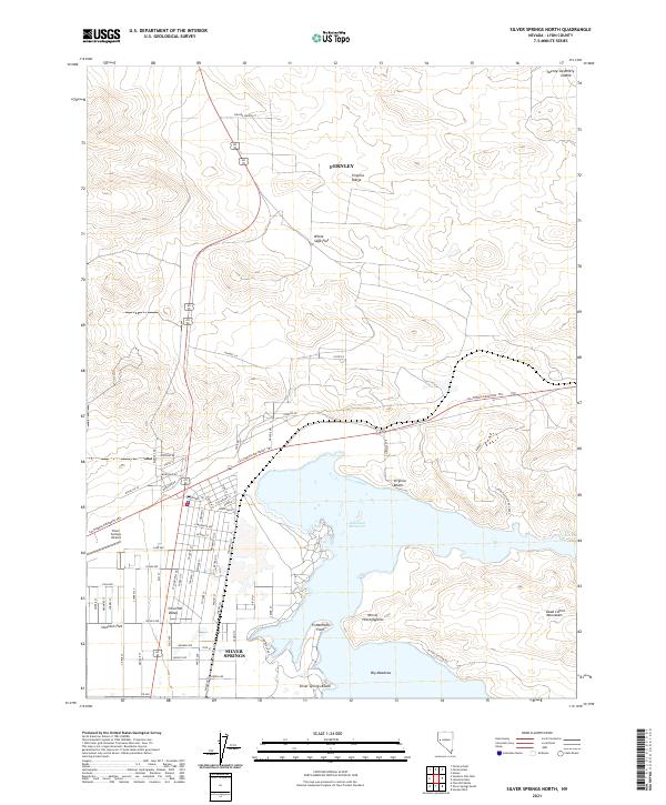
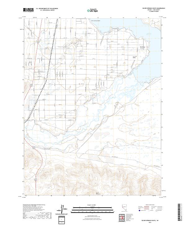
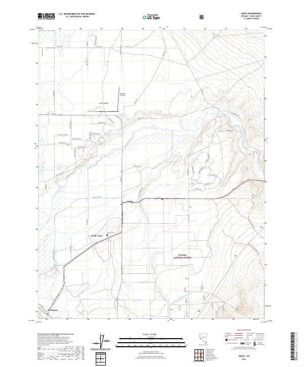
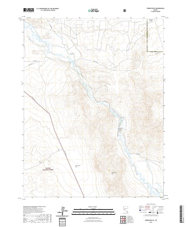
Mason Valley is defined by a complex irrigation and drainage network that serves both agriculture and wildlife conservation. This 1980s landscape showcases the engineering required to manage water in the high desert, featuring extensive infrastructure such as Merritt Ditch, Joggles Ditch, and the Nichols-Merritt Ditch. These waterways weave across the valley floor, feeding into the Wildlife Management Area and Hinkson Slough. To the east, the steep rising slopes of the Wassuk Range contrast sharply with the flat basin, where numerous prospect markings and adits suggest a history of mineral exploration. The northern boundary is marked by the Walker River Indian Reservation along the course of the Walker River, anchoring the map in a region where tribal lands, state managed wildlife zones, and private enterprise intersect.
Find a feature on this map
15 named features on this map. Tap any name to fly to it.
Don’t see what you’re looking for? This feature index may not catch every label — zoom into the map to look around manually.
Map Details
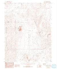
Editions of this 1987 Hinkson Slough Map
2 editions found
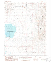
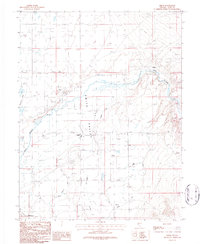
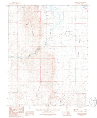
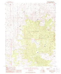
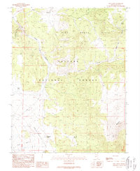
Historical Maps of Yerington Through Time
76 maps found

1891 Wabuska
Lyon County, NV
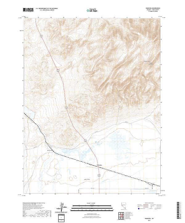
1894 Wabuska
Lyon County, NV
1951 Weber Reservoir
Lyon County, NV
1957 Churchill Butte
Lyon County, NV
1957 Como
Lyon County, NV
1957 Wabuska
Lyon County, NV
1957 Wellington
Lyon County, NV
1958 Pine Grove Hills
Lyon County, NV

1979 Carson City
Lyon County, NV
1985 Churchill Butte
Lyon County, NV
1985 Fernley East
Lyon County, NV
1985 Fernley West
Lyon County, NV
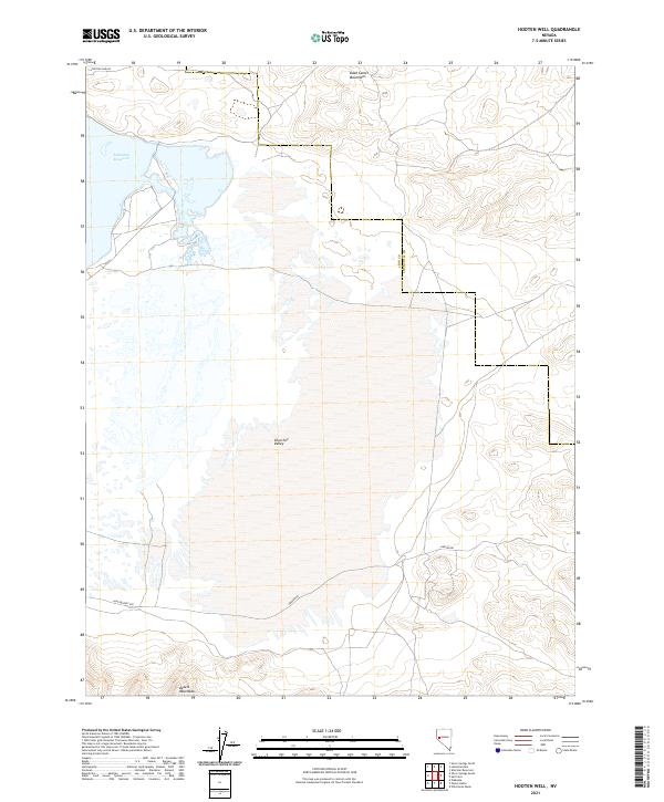
1985 Hooten Well
Lyon County, NV
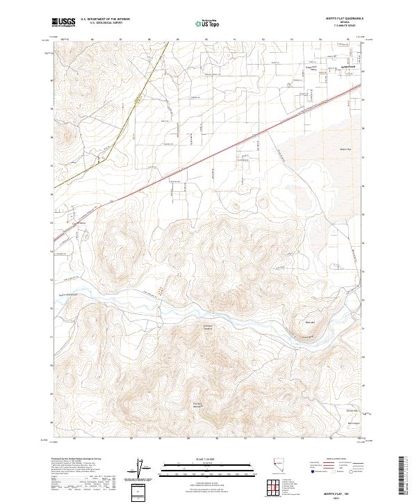
1985 Misfits Flat
Lyon County, NV
1985 Silver Springs North
Lyon County, NV
1985 Silver Springs South
Lyon County, NV
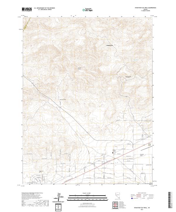
1985 Stockton Well
Lyon County, NV
1986 Artesia Lake
Lyon County, NV
1986 Smith
Lyon County, NV
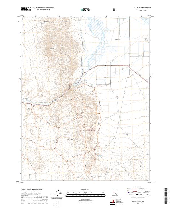
1986 Wilson Canyon
Lyon County, NV
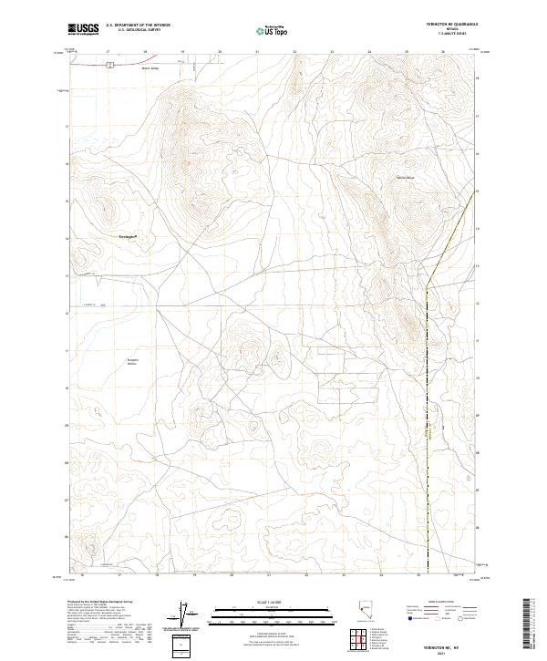
1986 Yerington NE
Lyon County, NV
1986 Yerington SE
Lyon County, NV
1987 Churchill Canyon Well
Lyon County, NV
1987 Como
Lyon County, NV
1987 Hinkson Slough
Lyon County, NV
1987 Mason Butte
Lyon County, NV
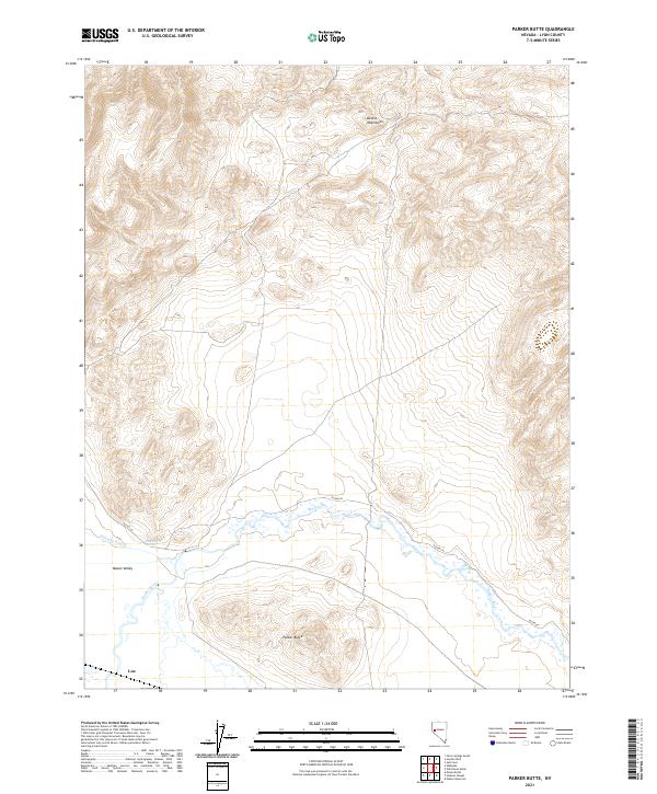
1987 Parker Butte
Lyon County, NV
1987 Wabuska
Lyon County, NV
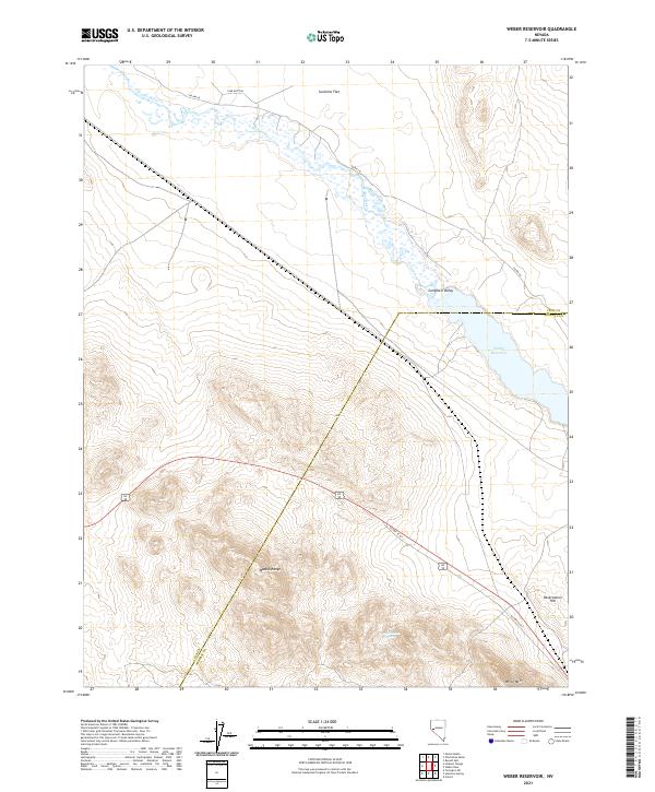
1987 Weber Reservoir
Lyon County, NV
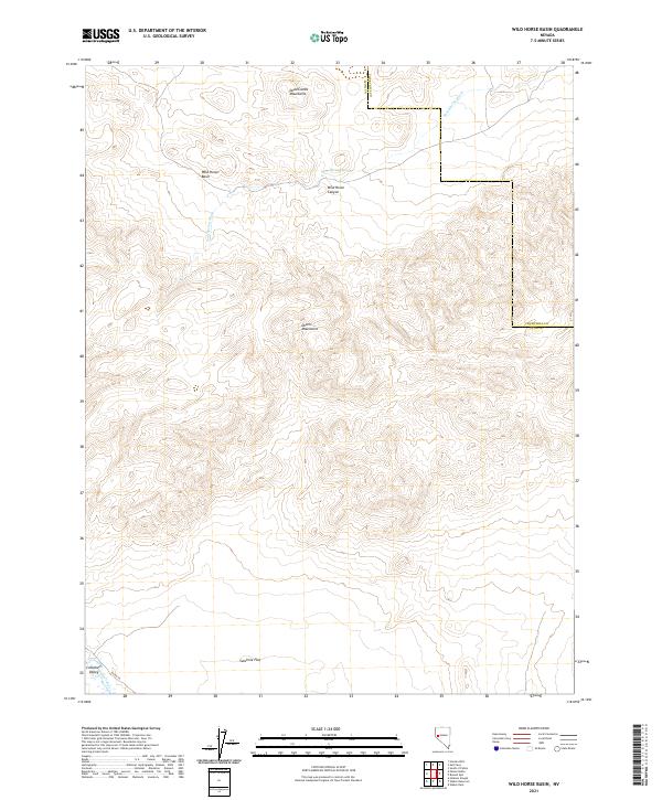
1987 Wild Horse Basin
Lyon County, NV
1988 Buck Brush Spring
Lyon County, NV
1988 Butler Mountain
Lyon County, NV
1988 Desert Creek Peak
Lyon County, NV
1988 Desert Creek Ranch
Lyon County, NV
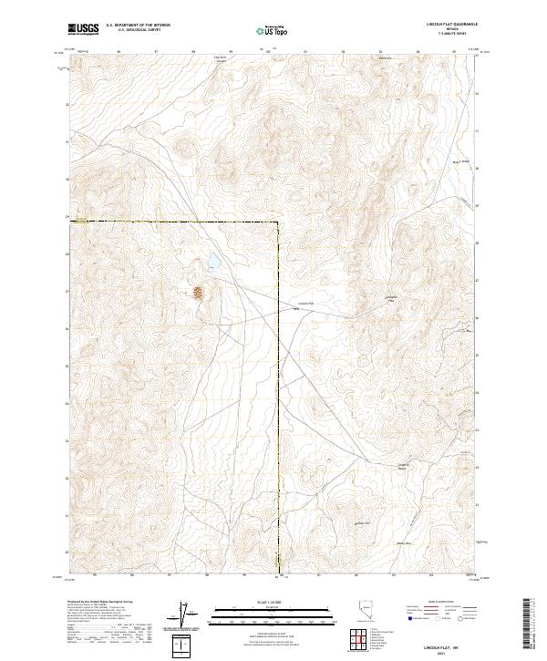
1988 Lincoln Flat
Lyon County, NV
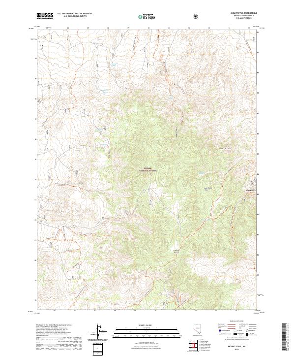
1988 Mount Etna
Lyon County, NV
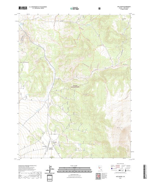
1988 Nye Canyon
Lyon County, NV
1988 Pine Grove Spring
Lyon County, NV
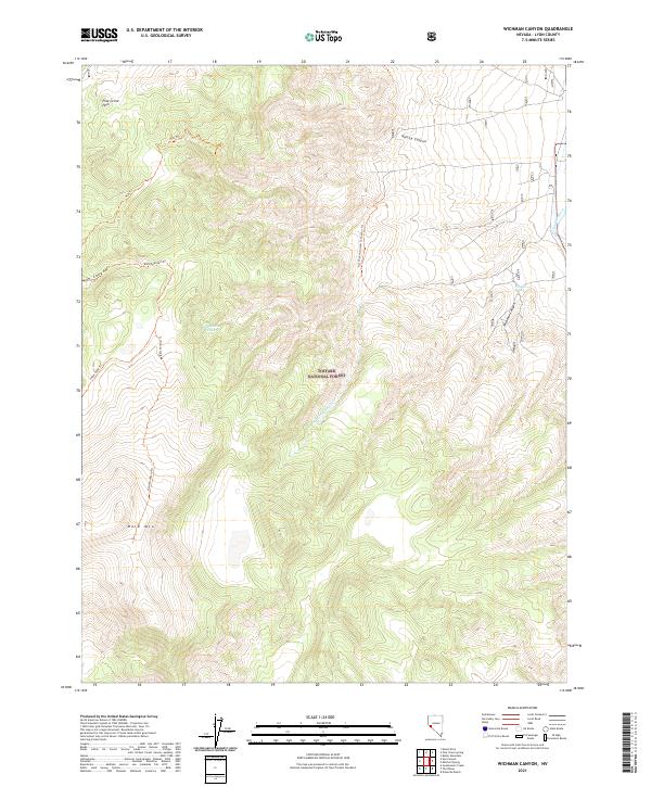
1988 Wichman Canyon
Lyon County, NV
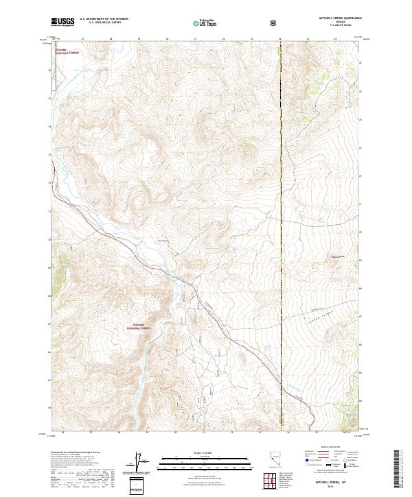
1989 Mitchell Spring
Lyon County, NV
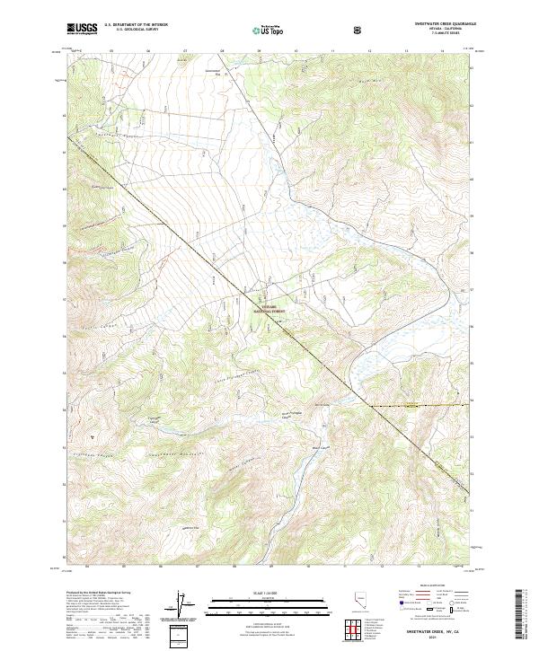
1989 Sweetwater Creek
Lyon County, NV
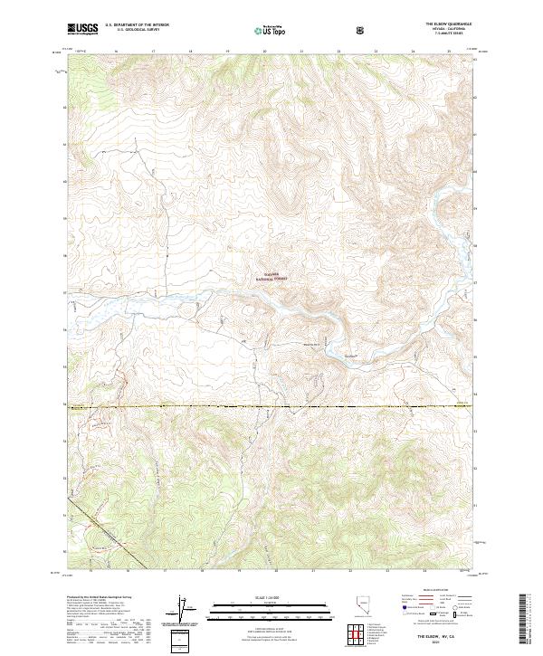
1989 The Elbow
Lyon County, NV
2021 Artesia Lake
Lyon County, NV
2021 Buckbrush Spring
Lyon County, NV
2021 Butler Mountain
Lyon County, NV
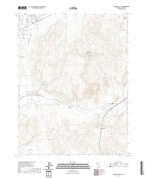
2021 Churchill Butte
Lyon County, NV
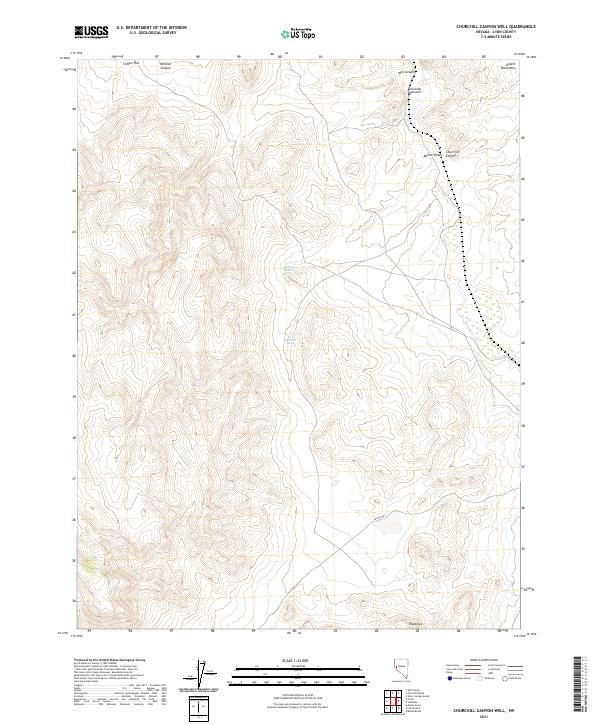
2021 Churchill Canyon Well
Lyon County, NV
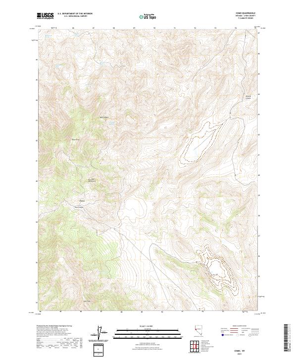
2021 Como
Lyon County, NV
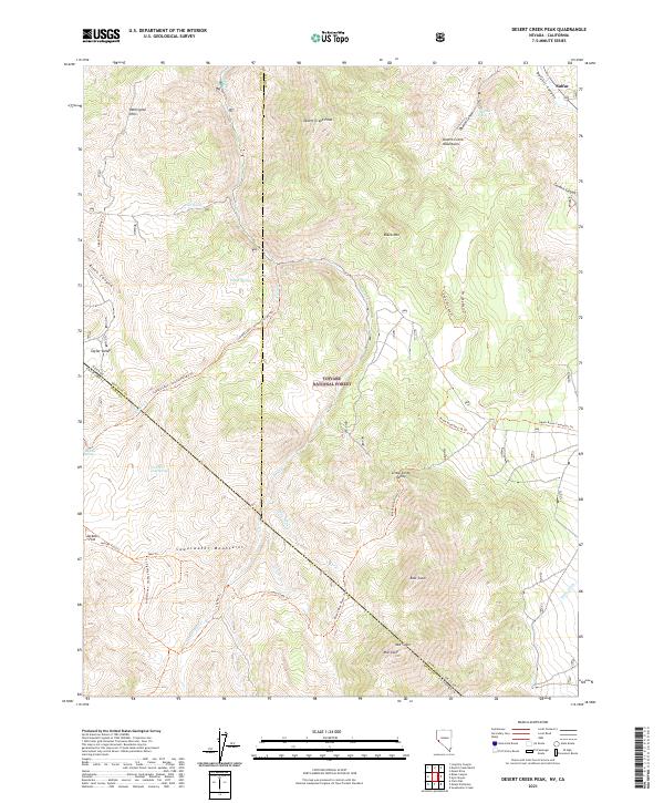
2021 Desert Creek Peak
Lyon County, NV
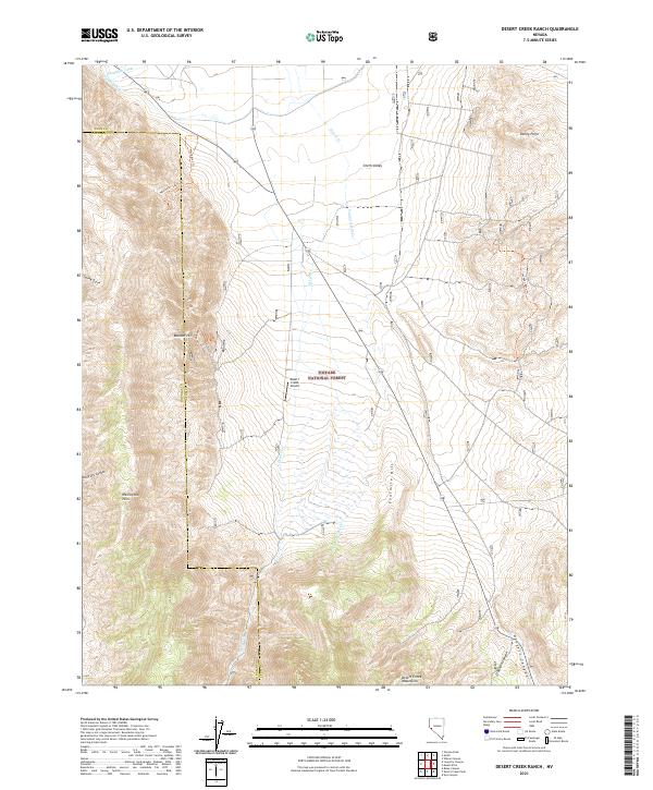
2021 Desert Creek Ranch
Lyon County, NV
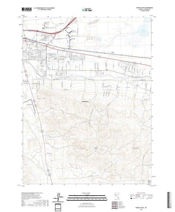
2021 Fernley East
Lyon County, NV
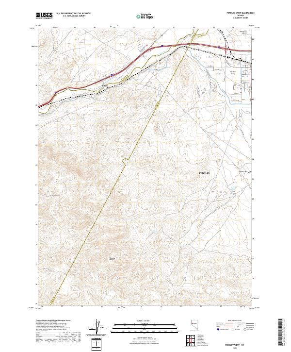
2021 Fernley West
Lyon County, NV
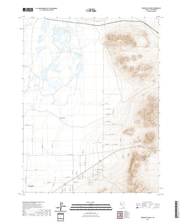
2021 Hinkson Slough
Lyon County, NV
2021 Hooten Well
Lyon County, NV
2021 Lincoln Flat
Lyon County, NV
2021 Mason Butte
Lyon County, NV
2021 Misfits Flat
Lyon County, NV
2021 Mitchell Spring
Lyon County, NV
2021 Mount Etna
Lyon County, NV
2021 Nye Canyon
Lyon County, NV
2021 Parker Butte
Lyon County, NV
2021 Pine Grove Spring
Lyon County, NV
2021 Silver Springs North
Lyon County, NV
2021 Silver Springs South
Lyon County, NV
2021 Smith
Lyon County, NV
2021 Stockton Flat Well
Lyon County, NV
2021 Sweetwater Creek
Lyon County, NV
2021 The Elbow
Lyon County, NV
2021 Wabuska
Lyon County, NV
2021 Weber Reservoir
Lyon County, NV
2021 Wichman Canyon
Lyon County, NV
2021 Wild Horse Basin
Lyon County, NV
2021 Wilson Canyon
Lyon County, NV
2021 Yerington NE
Lyon County, NV
2021 Yerington SE
Lyon County, NV
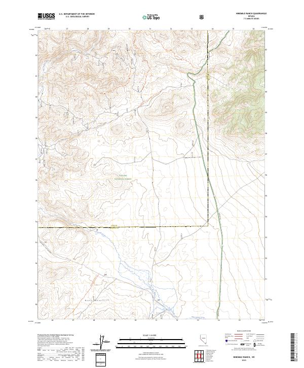
2023 Ninemile Ranch
Lyon County, NV