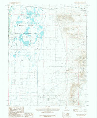
1987 Map of Hinkson Slough
USGS Topo · Published 1988About this map
Mason Valley defines the western half of this 1980s landscape, where a complex network of waterways supports a dedicated Wildlife Management Area. The terrain transitions sharply from the wetlands of Hinkson Slough and Perk Slough to the rising elevations of the Wassuk Range in the east. Human intervention in the desert hydrology is evident through extensive irrigation works like the Nichols-Merritt Ditch and Joggles Ditch, which channel water across the valley floor. Along the northern edge, the Southern Pacific railroad corridor skirts the boundary of the Walker River Indian Reservation, marking a vital transport link through the Great Basin. The map details the intersection of the Walker River with industrial features such as a Gravel Pit, reflecting the area's mix of conservation, agriculture, and resource extraction during this era.
Find a feature on this map
12 named features on this map. Tap any name to fly to it.
Don’t see what you’re looking for? This feature index may not catch every label — zoom into the map to look around manually.
Map Details
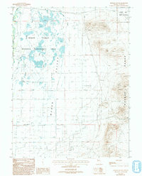
Editions of this 1987 Hinkson Slough Map
2 editions found
Other maps of this area

1891 · Wabuska
USGS Topo · 1:125,000

1891 · Wellington
USGS Topo · 1:125,000

1893 · Wellington
USGS Topo · 1:125,000

1894 · Wabuska
USGS Topo · 1:125,000

1908 · Carson Sink
USGS Topo · 1:250,000

1909 · Hawthorne
USGS Topo · 1:250,000

1910 · Carson Sink
USGS Topo · 1:250,000

1911 · Hawthorne
USGS Topo · 1:250,000

1915 · Hawthorne
USGS Topo · 1:250,000

1948 · Walker Lake
USGS Topo · 1:250,000