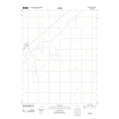
2012 Map of Garfield
USGS Topo · Published 2012About this map
Garfield sits at the intersection of prairie agriculture and energy extraction in Pawnee County. The town grid is defined by historical streets like Sheridan St and Pawnee St, with the local Post Office and School St serving as the community's core. The landscape is shaped by the broad sweep of the Arkansas River, which flows northeast across the quadrangle, joined by smaller tributaries including Coon Cr and Pickle Cr. To the south of the settlement, the Garfield Oil Field indicates the industrial footprint on this rural landscape. This 2012 survey illustrates a classic Kansas township pattern where section roads like Co Rd-6 and Co Rd-39 divide the territory into a precise geometric grid, reflecting the long-standing agricultural organization of the region.
Find a feature on this map
13 named features on this map. Tap any name to fly to it.
Don’t see what you’re looking for? This feature index may not catch every label — zoom into the map to look around manually.
Map Details
Editions of this 2012 Garfield Map
This is the sole edition of this map. No revisions or reprints were ever made.
Other maps of this area

1889 · Larned
USGS Topo · 1:125,000

1889 · Kinsley
USGS Topo · 1:125,000

1891 · Larned
USGS Topo · 1:125,000

1892 · Kinsley
USGS Topo · 1:125,000

1894 · Kinsley
USGS Topo · 1:125,000

1955 · Great Bend
USGS Topo · 1:250,000

1955 · Pratt
USGS Topo · 1:250,000

1957 · Great Bend
USGS Topo · 1:250,000

1958 · Great Bend
USGS Topo · 1:250,000

1959 · Pratt
USGS Topo · 1:250,000