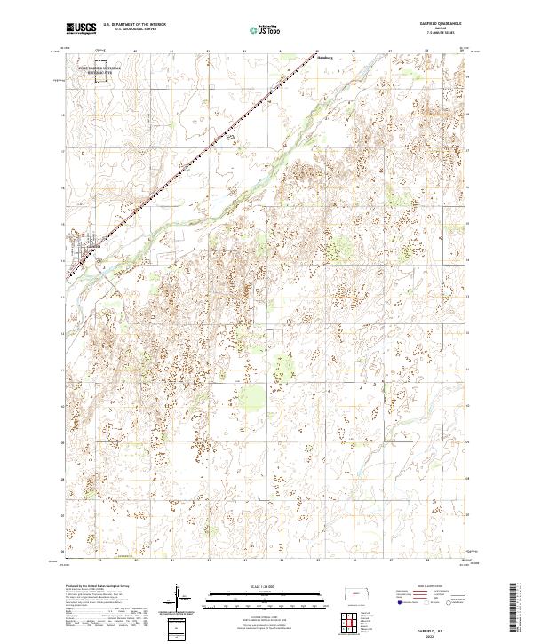
2022 Map of Garfield
USGS Topo · Published 2022About this map
The Fort Larned National Historic Site anchors the northwestern corner of this Kansas landscape, preserving a critical piece of frontier history where the Arkansas River valley meets the plains. The small town of Garfield is laid out in a grid south of the river, with streets named for historical figures such as Grant St, Sheridan St, and Pawnee St. This layout suggests an era of planned settlement that accompanied the expansion of rail and river commerce in Pawnee Co.
Find a feature on this map
26 named features on this map. Tap any name to fly to it.
Don’t see what you’re looking for? This feature index may not catch every label — zoom into the map to look around manually.
Map Details
Editions of this 2022 Garfield Map
This is the sole edition of this map. No revisions or reprints were ever made.
Other maps of this area

1889 · Larned
USGS Topo · 1:125,000

1889 · Kinsley
USGS Topo · 1:125,000

1891 · Larned
USGS Topo · 1:125,000

1892 · Kinsley
USGS Topo · 1:125,000

1894 · Kinsley
USGS Topo · 1:125,000

1955 · Great Bend
USGS Topo · 1:250,000

1955 · Pratt
USGS Topo · 1:250,000

1957 · Great Bend
USGS Topo · 1:250,000

1958 · Great Bend
USGS Topo · 1:250,000

1959 · Pratt
USGS Topo · 1:250,000