2022 Map of Garland
USGS Topo · Published 2022About this map
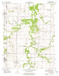
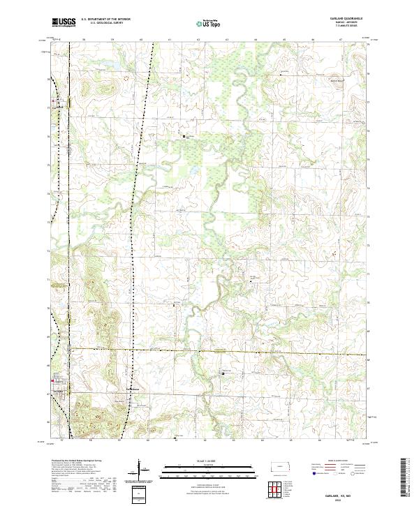
Garland sits at the northern edge of this boundary-rich region where Kansas and Missouri meet, centered on the complex drainage of the Dry Wood Creek watershed. The landscape is a network of small tributaries including McKill Cr, Comstock Cr, and Cox Cr, which carve through the plains. This area is notably dense with small country cemeteries, suggesting a deep-rooted rural settlement history. Notable burial grounds like Heavysides Cem and Mc Kill Chapel Cem are scattered across the quadrangle, serving as vital landmarks for genealogists.
Find a feature on this map
73 named features on this map. Tap any name to fly to it.
Don’t see what you’re looking for? This feature index may not catch every label — zoom into the map to look around manually.
Map Details
Editions of this 2022 Garland Map
This is the sole edition of this map. No revisions or reprints were ever made.
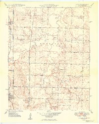
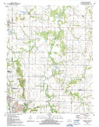
Historical Maps of Arcadia Through Time
8 maps found