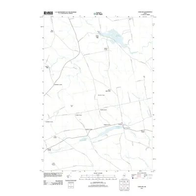
2011 Map of Garland
USGS Topo · Published 2011About this map
Garland anchors the southern portion of this Maine landscape, where the local economy and settlement patterns historically followed the flow of local waterways. Numerous crossroads, many named for early families, are scattered across the terrain, including Preble Corner, Gordon Corner, and Haseltine Corner. These small nodes suggest a legacy of independent farming and local commerce that defined the region before modern consolidation. To the north, Dover South Mills and Silvers Mills reflect the early industrial importance of water power, situated near the banks of the Main Stream Sebasticook River and the complex of waters including Branns Mill Pond. The hydrology is particularly diverse here, as the area sits atop a drainage divide; the Kenduskeag Stream flows toward the Penobscot, while the Sebasticook waters eventually reach the Kennebec. The inclusion of the Dexter Regional Airport in the southwest corner marks the modern transition of this traditionally rural landscape.
Find a feature on this map
78 named features on this map. Tap any name to fly to it.
Don’t see what you’re looking for? This feature index may not catch every label — zoom into the map to look around manually.
Map Details
Editions of this 2011 Garland Map
This is the sole edition of this map. No revisions or reprints were ever made.
Other maps of this area

1930 · Pittsfield
USGS Topo · 1:48,000

1931 · Stetson
USGS Topo · 1:48,000

1932 · Dover-Foxcroft
USGS Topo · 1:48,000

1932 · Pittsfield
USGS Topo · 1:62,500

1933 · Pittsfield
USGS Topo · 1:62,500

1933 · Guilford
USGS Topo · 1:62,500

1935 · Dover-Foxcroft
USGS Topo · 1:62,500

1935 · Stetson
USGS Topo · 1:62,500

1937 · Guilford
USGS Topo · 1:62,500

1948 · Bangor
USGS Topo · 1:250,000