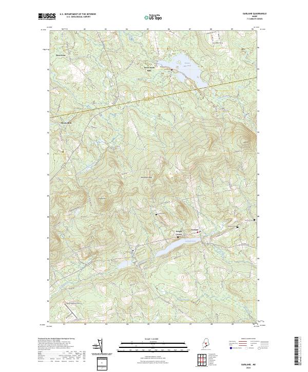
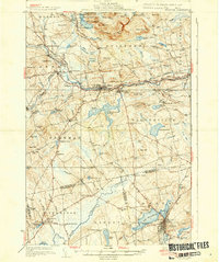
2024 Map of Garland
USGS Topo · Published 2024About this map
Garland and the surrounding townships sit at the transition between the rolling highlands of Piscataquis Co and Penobscot Co. The landscape is defined by its water system, where Kenduskeag Stream and Allen Stream drain the southern portion of the quadrangle while the Main Stream Sebasticook River winds through the western reaches. Small settlements like Silvers Mills and Dover South Mills mark the historic intersections of local commerce, while prominent elevations such as Preble Hill and Mansfield Ledge overlook the network of backroads.
Find a feature on this map
83 named features on this map. Tap any name to fly to it.
Don’t see what you’re looking for? This feature index may not catch every label — zoom into the map to look around manually.
Map Details
Editions of this 2024 Garland Map
This is the sole edition of this map. No revisions or reprints were ever made.
Other maps of this area
1930 · Pittsfield
USGS Topo · 1:48,000

1931 · Stetson
USGS Topo · 1:48,000
1932 · Dover-Foxcroft
USGS Topo · 1:48,000
1932 · Pittsfield
USGS Topo · 1:62,500
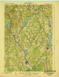
1933 · Pittsfield
USGS Topo · 1:62,500
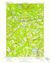
1933 · Guilford
USGS Topo · 1:62,500
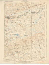
1935 · Dover-Foxcroft
USGS Topo · 1:62,500
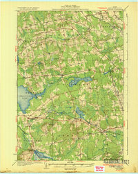
1935 · Stetson
USGS Topo · 1:62,500
1937 · Guilford
USGS Topo · 1:62,500

1948 · Bangor
USGS Topo · 1:250,000