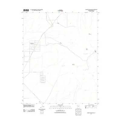
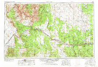
2011 Map of Garnet Mountain
USGS Topo · Published 2011About this map
Haulapai Valley Joshua Trees stand as a central landmark in this high-desert landscape of Mohave County, where the transition from flat valley to rugged highlands is marked by Garnet Mountain and Iron Mountain. The map documents a sparse but vital network of water sources essential for ranching and survival, including Valley Ranch Spring, Garnet Spring, and Rattlesnake Spring. The area's pastoral history is anchored by Patterson Corral and Valley Ranch, while the more remote Ray Place sits at the head of Iron Spring Wash. In the western reaches, an aspirational grid of street names such as Hope, Prosperity, and Contented reveals modern development patterns intersecting with established routes like Pierce Ferry Rd. This survey captures the juxtaposition of traditional ranching outposts with later 21st-century residential planning in the Arizona interior.
Find a feature on this map
36 named features on this map. Tap any name to fly to it.
Don’t see what you’re looking for? This feature index may not catch every label — zoom into the map to look around manually.
Map Details
Editions of this 2011 Garnet Mountain Map
This is the sole edition of this map. No revisions or reprints were ever made.
Other maps of this area
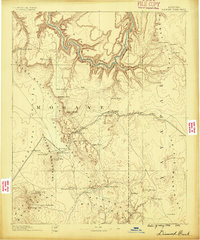
1886 · Diamond Creek
USGS Topo · 1:250,000
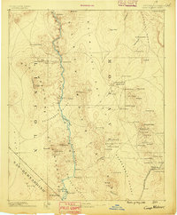
1886 · Camp Mohave
USGS Topo · 1:250,000
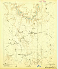
1892 · Diamond Creek
USGS Topo · 1:250,000
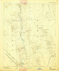
1892 · Camp Mohave
USGS Topo · 1:250,000
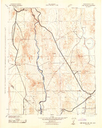
1942 · Camp Mohave
USGS Topo · 1:250,000

1947 · Kingman
USGS Topo · 1:250,000

1948 · Kingman
USGS Topo · 1:250,000
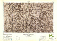
1948 · Williams
USGS Topo · 1:250,000
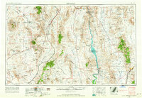
1954 · Kingman
USGS Topo · 1:250,000
1954 · Williams
USGS Topo · 1:250,000