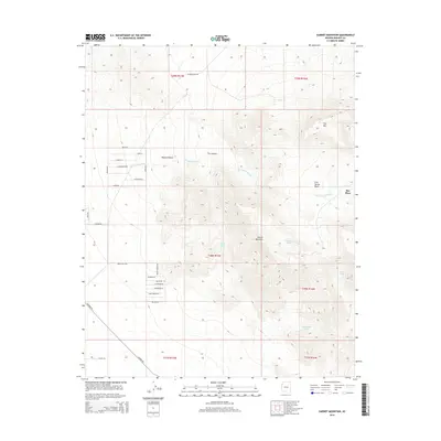
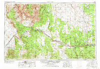
2014 Map of Garnet Mountain
USGS Topo · Published 2014About this map
Mojave Desert terrain dominates this landscape, where the high peaks of Garnet Mountain and Iron Mtn overlook a network of seasonal washes and isolated springs. The map documents a sparsely populated corner of Arizona, anchored by the Ray Place and a grid of rural residential roads with evocative names like Faith St, Hope St, and Charity St tucked into the western flats.
Find a feature on this map
35 named features on this map. Tap any name to fly to it.
Don’t see what you’re looking for? This feature index may not catch every label — zoom into the map to look around manually.
Map Details
Editions of this 2014 Garnet Mountain Map
This is the sole edition of this map. No revisions or reprints were ever made.
Other maps of this area
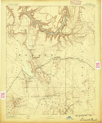
1886 · Diamond Creek
USGS Topo · 1:250,000
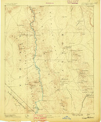
1886 · Camp Mohave
USGS Topo · 1:250,000
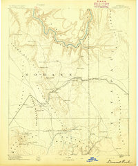
1892 · Diamond Creek
USGS Topo · 1:250,000
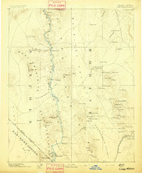
1892 · Camp Mohave
USGS Topo · 1:250,000
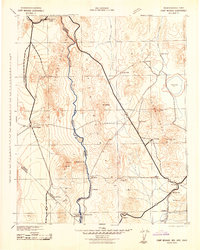
1942 · Camp Mohave
USGS Topo · 1:250,000

1947 · Kingman
USGS Topo · 1:250,000

1948 · Kingman
USGS Topo · 1:250,000
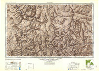
1948 · Williams
USGS Topo · 1:250,000
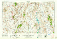
1954 · Kingman
USGS Topo · 1:250,000
1954 · Williams
USGS Topo · 1:250,000