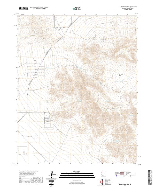
2021 Map of Garnet Mountain
USGS Topo · Published 2021About this map
Valley Ranch Spring sits at the heart of this high-desert landscape, where the shifting elevations of the Garnet Mtn range meet the arid expanse of the Mojave Desert. This 2021 survey illustrates a remote area of Mohave County defined by essential water sources and the transition from the Grapevine Mesa in the north to the Hualapai Valley in the south. The road network reflects recent land development efforts, featuring a curious grid of named streets such as Faith, Hope, and Charity west of Pierce Ferry Rd. These planned alignments contrast sharply with the natural drainage patterns of Fox Canyon Wash and Iron Spring Wash, providing a clear record of how human infrastructure is superimposed upon the rugged geography of the Iron Spring Basin.
Find a feature on this map
39 named features on this map. Tap any name to fly to it.
Don’t see what you’re looking for? This feature index may not catch every label — zoom into the map to look around manually.
Map Details
Editions of this 2021 Garnet Mountain Map
This is the sole edition of this map. No revisions or reprints were ever made.
Other maps of this area

1886 · Diamond Creek
USGS Topo · 1:250,000

1886 · Camp Mohave
USGS Topo · 1:250,000

1892 · Diamond Creek
USGS Topo · 1:250,000

1892 · Camp Mohave
USGS Topo · 1:250,000

1942 · Camp Mohave
USGS Topo · 1:250,000

1947 · Kingman
USGS Topo · 1:250,000

1948 · Kingman
USGS Topo · 1:250,000

1948 · Williams
USGS Topo · 1:250,000

1954 · Kingman
USGS Topo · 1:250,000

1954 · Williams
USGS Topo · 1:250,000