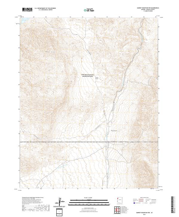
2021 Map of Garnet Mountain NW
USGS Topo · Published 2021About this map
White Hills and the arid expanse of the Mojave Desert dominate this corner of Mohave County, where the landscape is defined by drainage patterns and remote access roads. The Lake Mead National Recreation Area covers a significant portion of the terrain, stretching toward the northwestern waters of Salt Spring Bay. This modern survey details the vital network of ephemeral watercourses, such as Hualapai Wash and White Elephant Wash, which have historically dictated travel and survival in this desert environment. Human presence is marked by primitive and secondary routes like Gregg's Hideout Rd and Temple Bar Back Rd, providing a clear view of the infrastructure supporting recreation and land management in the region today.
Find a feature on this map
14 named features on this map. Tap any name to fly to it.
Don’t see what you’re looking for? This feature index may not catch every label — zoom into the map to look around manually.
Map Details
Editions of this 2021 Garnet Mountain NW Map
This is the sole edition of this map. No revisions or reprints were ever made.
Other maps of this area

1886 · Camp Mohave
USGS Topo · 1:250,000

1886 · Saint Thomas
USGS Topo · 1:250,000

1892 · Camp Mohave
USGS Topo · 1:250,000

1893 · Saint Thomas
USGS Topo · 1:250,000

1926 · Bonelli
USGS Topo · 1:96,000

1942 · Camp Mohave
USGS Topo · 1:250,000

1947 · Kingman
USGS Topo · 1:250,000

1948 · Kingman
USGS Topo · 1:250,000

1953 · Iceberg Canyon
USGS Topo · 1:62,500

1953 · Virgin Basin
USGS Topo · 1:62,500