
1953 Map of Virgin Basin
USGS Topo · Published 1955About this map
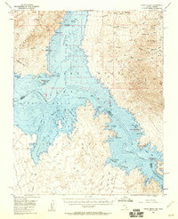
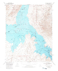
Lake Mead fills the central basin of this mid-century survey, drowning the old confluence where the Virgin River once met the Colorado River. The landscape is defined by the new water level of the reservoir, highlighting islands and points such as Middle Point Islands and East Point. The transition from river valley to desert lake is captured through underwater contours and the naming of diverse bays like Grebe Bay and Teal Coves. Mining activity persists in the higher elevations, evidenced by the Lakeside Mine and labels for Manganese. Recreational and transport history is visible at the Temple Bar Boat Anchorage and along the Ferry Road, while the remote character of the desert is preserved in landmarks like Napoleon Tomb and a lone Grave near Rattlesnake Wash.
Find a feature on this map
67 named features on this map. Tap any name to fly to it.
Don’t see what you’re looking for? This feature index may not catch every label — zoom into the map to look around manually.
Map Details
Editions of this 1953 Virgin Basin Map
3 editions found
Other maps of this area

1886 · Camp Mohave
USGS Topo · 1:250,000

1886 · Saint Thomas
USGS Topo · 1:250,000

1892 · Camp Mohave
USGS Topo · 1:250,000

1893 · Saint Thomas
USGS Topo · 1:250,000

1926 · Nelson
USGS Topo · 1:96,000

1926 · Bonelli
USGS Topo · 1:96,000

1926 · Boulder Canyon
USGS Topo · 1:96,000

1942 · Camp Mohave
USGS Topo · 1:250,000

1947 · Kingman
USGS Topo · 1:250,000

1948 · Kingman
USGS Topo · 1:250,000