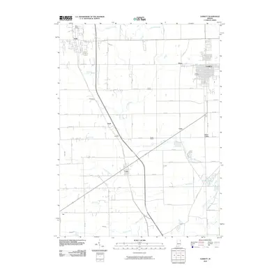
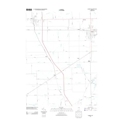
Loading...
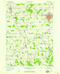
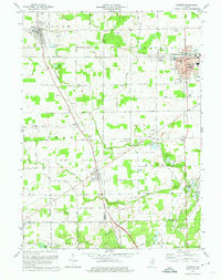
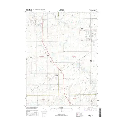
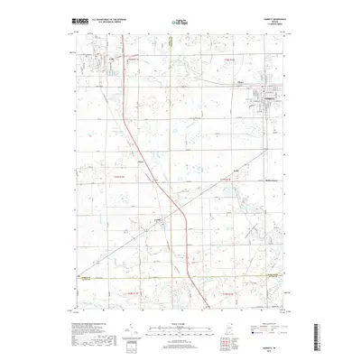
Loading map...1957 Map of Garrett
USGS Topo · Published 1959About this map
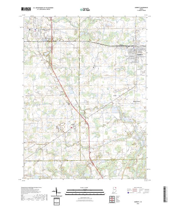
Garrett stands as a significant rail and civic hub in the late 1950s, defined by the major junctions of the Baltimore and Ohio Railroad and the Pennsylvania Railroad. The town’s social and physical infrastructure is clearly visible, from the Sacred Heart Hospital and City Hall to schools like Ober Sch and the local Sewage Disposal plant. This era shows a community in its mid-century maturity, featuring several established parks including Northside Park and Southside Park.
Find a feature on this map
64 named features on this map. Tap any name to fly to it.
Don’t see what you’re looking for? This feature index may not catch every label — zoom into the map to look around manually.
Map Details
Date Portrayed1957
Date Published1959
PublisherU.S. Geological Survey
Map TypeTopographic
Scale1:24,000
Physical Dimensions22.1 x 26.9 inches
Editions of this 1957 Garrett Map
This is the sole edition of this map. No revisions or reprints were ever made.
Historical Maps of Garrett Through Time
7 maps found
Featured Locations
Source Details
SourceU.S. Geological Survey
CopyrightPublic Domain