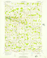
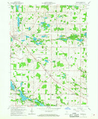
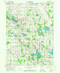
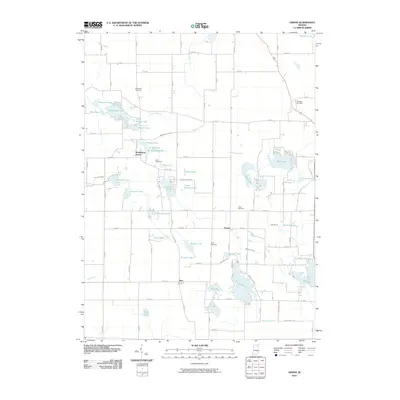
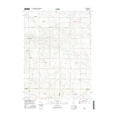
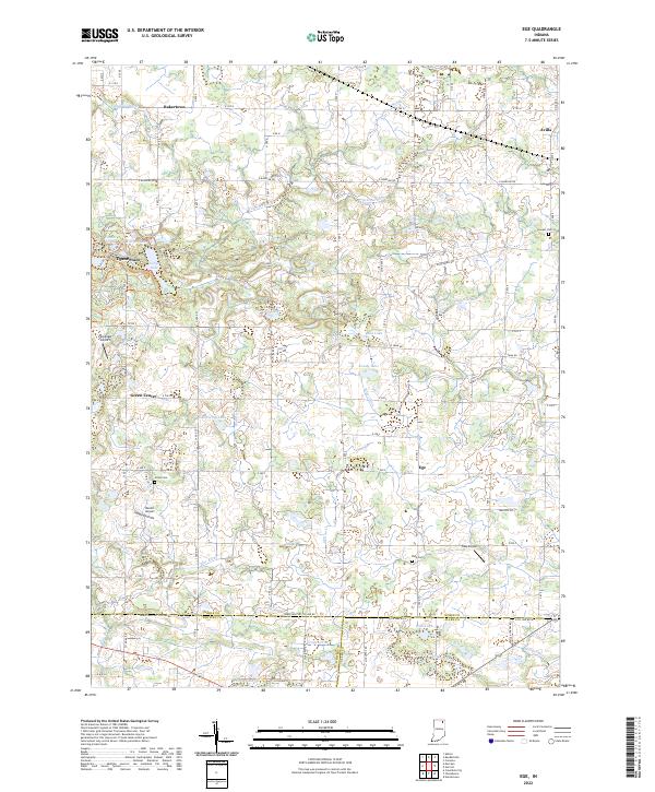
1955 Map of Ege
USGS Topo · Published 1957About this map
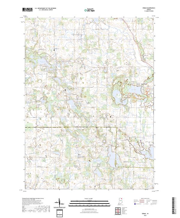
Bakerstown and the surrounding rural townships of Jefferson and Green define this mid-century landscape in Indiana's lake country. The terrain is dotted with small kettle lakes and wetlands, including the cluster of Finster Lakes, Summit Lake, and McHenry Lake. Agricultural life is anchored by numerous local institutions, from the Sacred Heart Home in the northeast to several country churches like Rehoboth Ch and Sugar Grove Ch.
Find a feature on this map
39 named features on this map. Tap any name to fly to it.
Don’t see what you’re looking for? This feature index may not catch every label — zoom into the map to look around manually.
Map Details
Editions of this 1955 Ege Map
This is the sole edition of this map. No revisions or reprints were ever made.
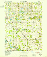
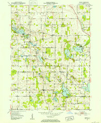
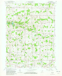
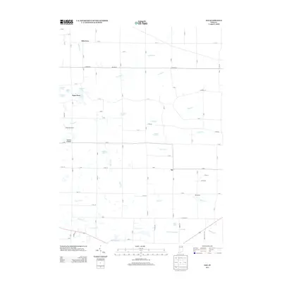
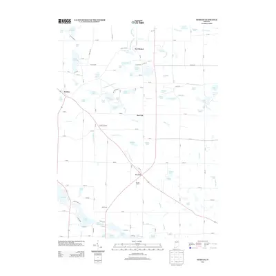
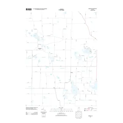
Historical Maps of Avilla Through Time
21 maps found
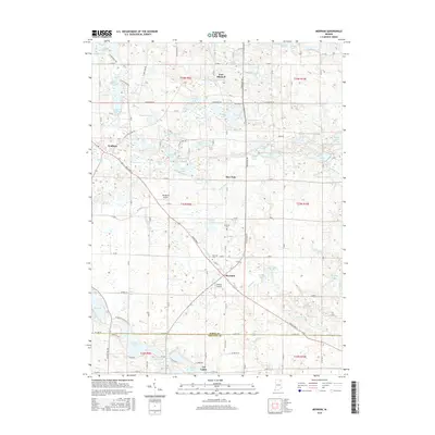
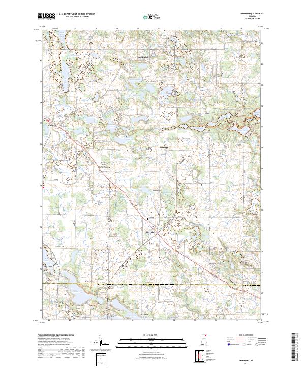
1951 Merriam
Noble County, IN
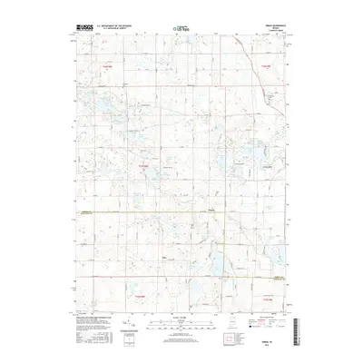
1951 Ormas
Noble County, IN
1955 Ege
Noble County, IN
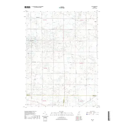
1965 Ege
Noble County, IN
1965 Merriam
Noble County, IN
1965 Ormas
Noble County, IN
2010 Ege
Noble County, IN
2010 Merriam
Noble County, IN
2010 Ormas
Noble County, IN
2013 Ege
Noble County, IN
2013 Merriam
Noble County, IN
2013 Ormas
Noble County, IN
2016 Ege
Noble County, IN
2016 Merriam
Noble County, IN
2016 Ormas
Noble County, IN
2019 Ege
Noble County, IN
2019 Merriam
Noble County, IN
2019 Ormas
Noble County, IN
2022 Ege
Noble County, IN
2022 Merriam
Noble County, IN
2022 Ormas
Noble County, IN