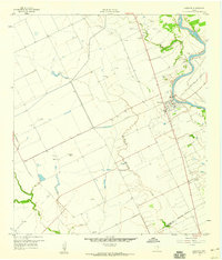
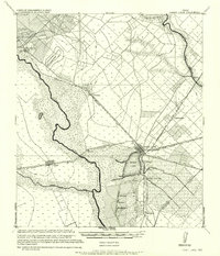
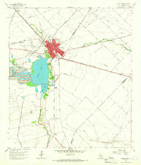
1959 Map of Garwood
USGS Topo · Published 1960About this map
Colorado River bottomlands and the agricultural plains of the Texas coastal prairie define this late-1950s landscape. The settlement of Garwood serves as a local hub, situated near the Gulf Colorado and Santa Fe (AT & SF) railroad and an intricate irrigation network including an Elevated Canal. The era's industrial activity is visible in the Englehart Oil Field and Frnka Oil Field, which are dotted with numerous gas wells and sludge pits. Further south, the community of Nada is centered around St Mary Sch and the Nada Cem. This survey illustrates the transition from river-dependent ranching to a more complex economy of petroleum extraction and rice farming, evidenced by the proliferation of canals, grain bins, and a local Airstrip.
Find a feature on this map
25 named features on this map. Tap any name to fly to it.
Don’t see what you’re looking for? This feature index may not catch every label — zoom into the map to look around manually.
Map Details
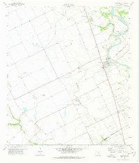
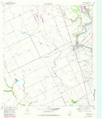
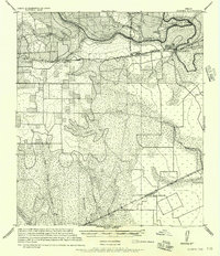
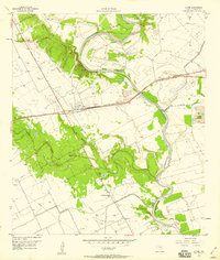
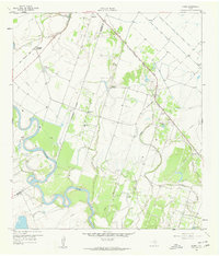
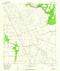
Editions of this 1959 Garwood Map
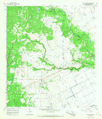
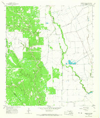
Other maps of this area

1953 · Seguin
USGS Topo · 1:250,000
1956 · Glidden
USGS Topo · 1:62,500
1957 · Eagle Lake
USGS Topo · 1:62,500
1957 · Altair
USGS Topo · 1:24,000

1958 · Seguin
USGS Topo · 1:250,000
1959 · Bonus
USGS Topo · 1:24,000
1960 · New Taiton
USGS Topo · 1:24,000
1963 · Eagle Lake
USGS Topo · 1:24,000
1965 · Rock Island
USGS Topo · 1:24,000
1965 · Sheridan NE
USGS Topo · 1:24,000