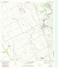
1959 Map of Garwood
USGS Topo · Published 1983About this map
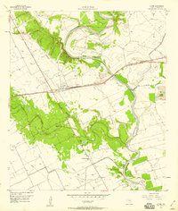
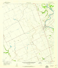
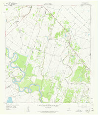
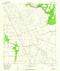
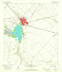
The Colorado River meanders through the eastern edge of this landscape, anchoring a region defined by extensive irrigation networks and oil production. The engineering of the Elevated Canal systems reflects the area's agricultural reliance on water management, while the presence of the Englehart Oil Field and Frnka Oil Field highlights the mid-century energy economy. In the settlement of Garwood, the Atchison Topeka and Santa Fe railroad line runs parallel to the river, supported by local infrastructure like the Airstrip and a cluster of Grain Bins. Further south, the community of Nada centers around local institutions such as St Mary Sch and the Nada Cem. The map provides detailed locations for family-named burial sites including Garwood Methodist Cem and Garwood Cem, making it a valuable resource for documenting the physical history of this Colorado County rural corridor.
Find a feature on this map
22 named features on this map. Tap any name to fly to it.
Don’t see what you’re looking for? This feature index may not catch every label — zoom into the map to look around manually.
Map Details
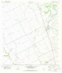
Editions of this 1959 Garwood Map
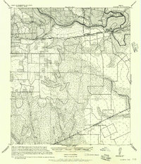
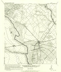
Other maps of this area

1953 · Seguin
USGS Topo · 1:250,000
1956 · Glidden
USGS Topo · 1:62,500
1957 · Eagle Lake
USGS Topo · 1:62,500
1957 · Altair
USGS Topo · 1:24,000

1958 · Seguin
USGS Topo · 1:250,000
1959 · Garwood
USGS Topo · 1:24,000
1959 · Bonus
USGS Topo · 1:24,000
1960 · New Taiton
USGS Topo · 1:24,000
1963 · Eagle Lake
USGS Topo · 1:24,000
1965 · Rock Island
USGS Topo · 1:24,000