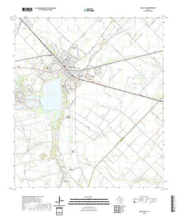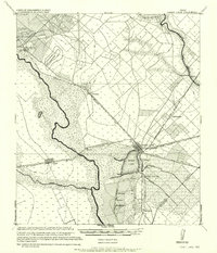
1957 Map of Eagle Lake
USGS Topo · Published 1957About this map
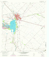
Eagle Lake sits at the heart of this coastal prairie landscape, serving as a focal point for an extensive network of artificial waterways like the Irrigation Ditch. This 1957 edition, derived from military surveys conducted before the First World War, illustrates the critical intersection of rail and water in Colorado County. The Colorado River meanders through the western portion of the quadrangle, passing near the settlement of Alleyton and the Horseshoe Gulley. A dense lattice of railroads, including the Cane Belt R.R. and the San Antonio and Aransas Pass Ry, converge at Eagle Lake, highlighting the town's importance as a regional transportation hub. Smaller rail stops and junctions such as Rayner Junction, Ramsey, and Smith Junction suggest a landscape deeply tied to the agricultural and transit economy of the early 20th century.
Find a feature on this map
31 named features on this map. Tap any name to fly to it.
Don’t see what you’re looking for? This feature index may not catch every label — zoom into the map to look around manually.
Map Details
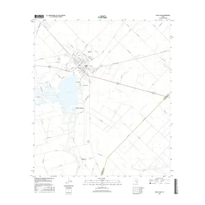
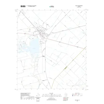
Editions of this 1957 Eagle Lake Map
This is the sole edition of this map. No revisions or reprints were ever made.
Historical Maps of Eagle Lake Through Time
8 maps found