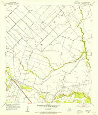
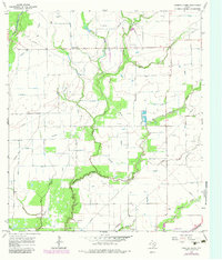
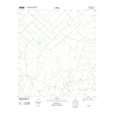
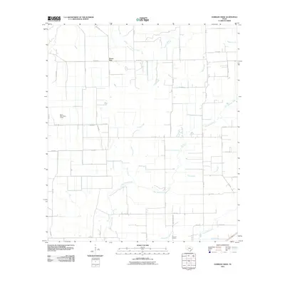
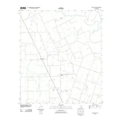
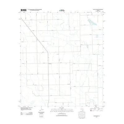
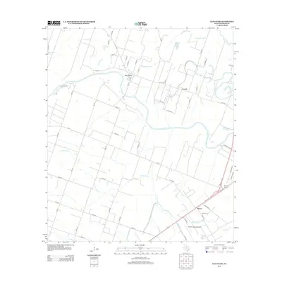
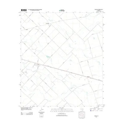
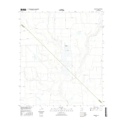
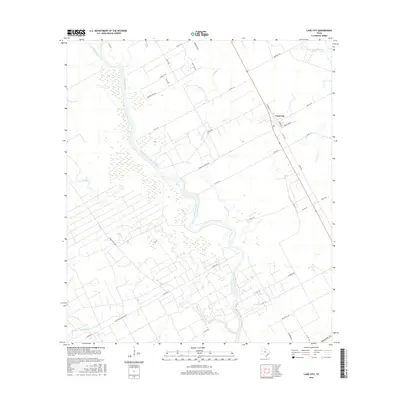
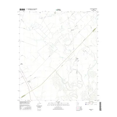
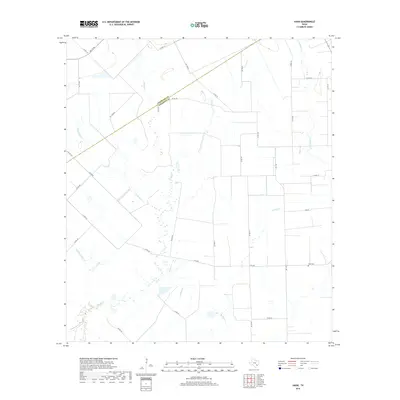
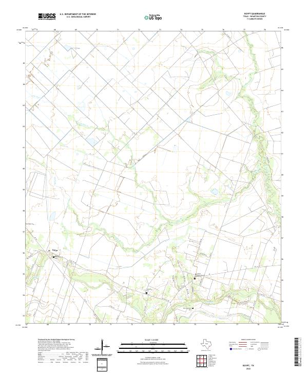
1952 Map of Egypt
USGS Topo · Published 1954About this map
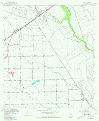
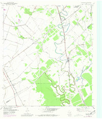
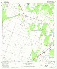
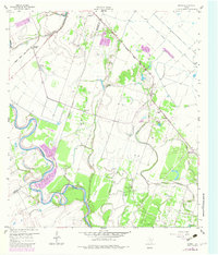
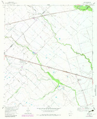
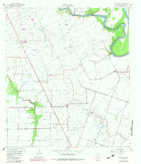
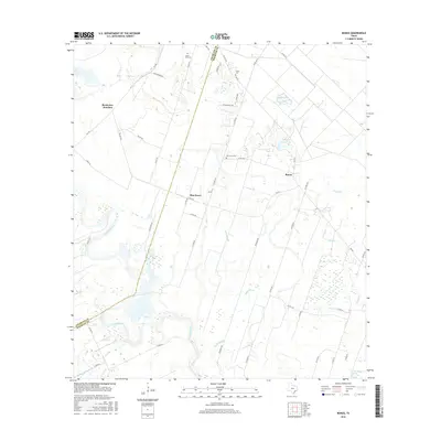
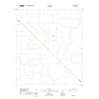
Egypt sits at the heart of this coastal prairie landscape in the early 1950s, serving as a hub for both the local agricultural and extractive economies. The terrain is defined by a dense network of drainage ditches and canals that crisscross the land between West Bernard Creek and Peach Creek. This era captures the industrial footprint of the Egypt Oil Field and the Spanish Camp Oil Field, where numerous gas wells and pipe lines are mapped alongside the tracks of the Gulf Colorado and Santa Fe railroad. Local community life is anchored by family and congregational sites such as Camp Zion Church and its associated Camp Zion Cemetery, as well as the Jerusalem Church and Old Jerusalem Cemetery further east. The map provides a detailed view of rural Texas life, where small settlements like Spanish Camp and Dorman were situated amidst an evolving landscape of gravel pits, flumes, and windmills.
Find a feature on this map
21 named features on this map. Tap any name to fly to it.
Don’t see what you’re looking for? This feature index may not catch every label — zoom into the map to look around manually.
Map Details
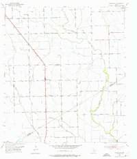
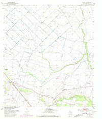
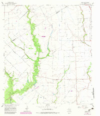
Editions of this 1952 Egypt Map
2 editions found
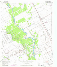
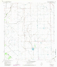
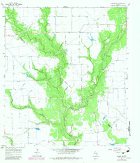
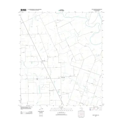
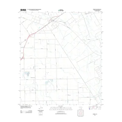
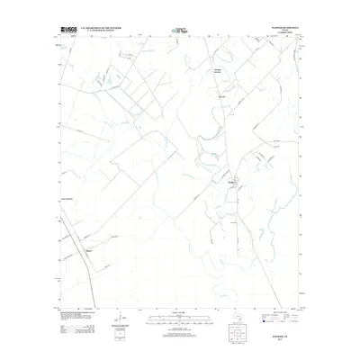
Historical Maps of Egypt Through Time
78 maps found
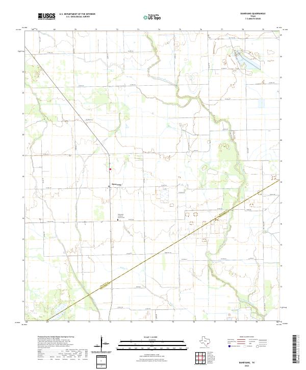
1951 Danevang
Wharton County, TX
1952 Egypt
Wharton County, TX
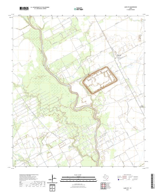
1952 Lane City
Wharton County, TX
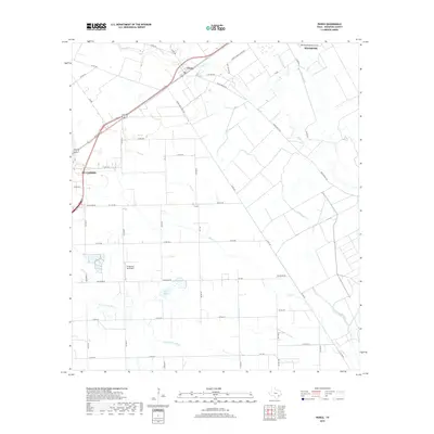
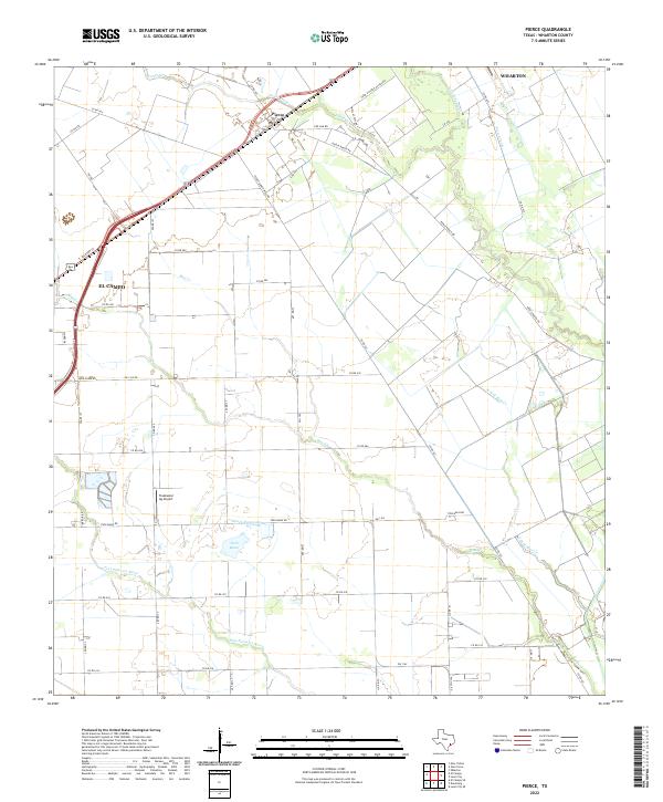
1952 Pierce
Wharton County, TX
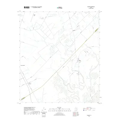
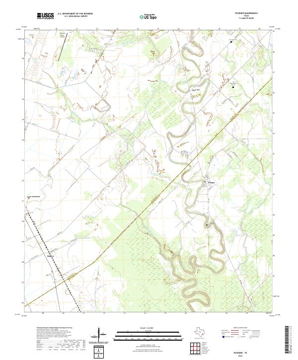
1952 Pledger
Wharton County, TX
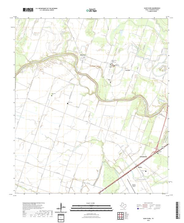
1953 Glen Flora
Wharton County, TX
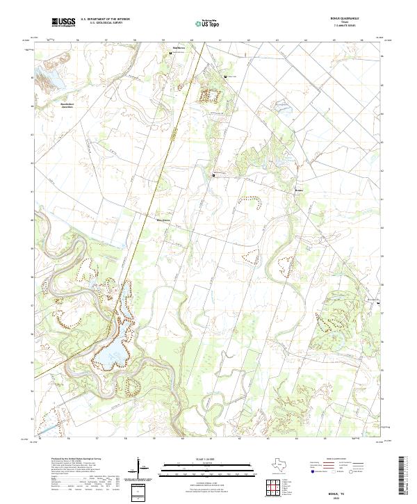
1959 Bonus
Wharton County, TX
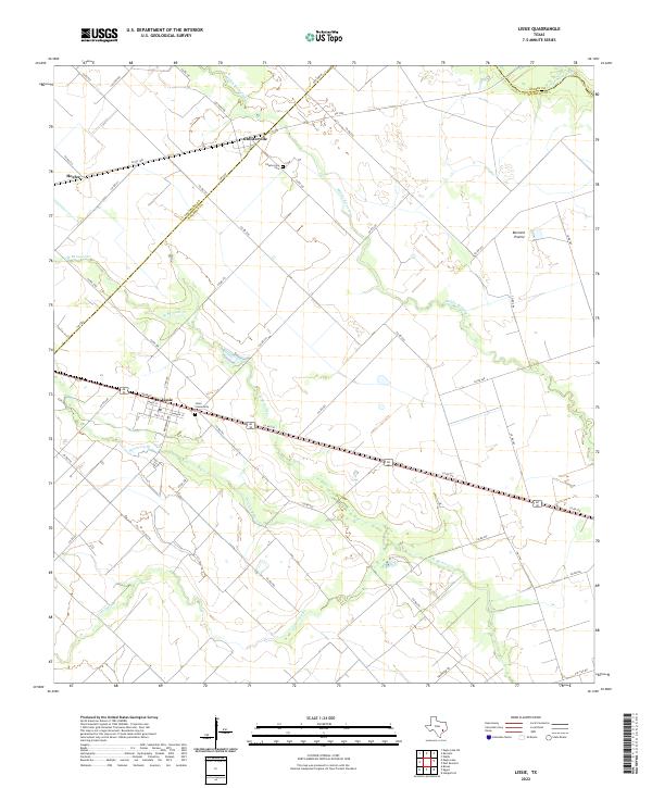
1960 Lissie
Wharton County, TX
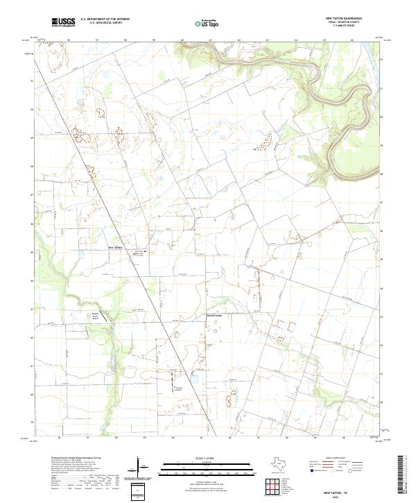
1960 New Taiton
Wharton County, TX
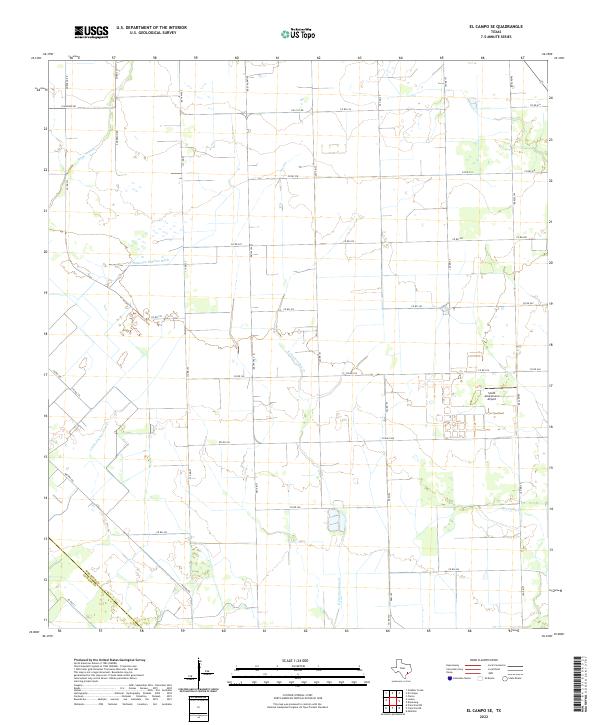
1965 El Campo SE
Wharton County, TX
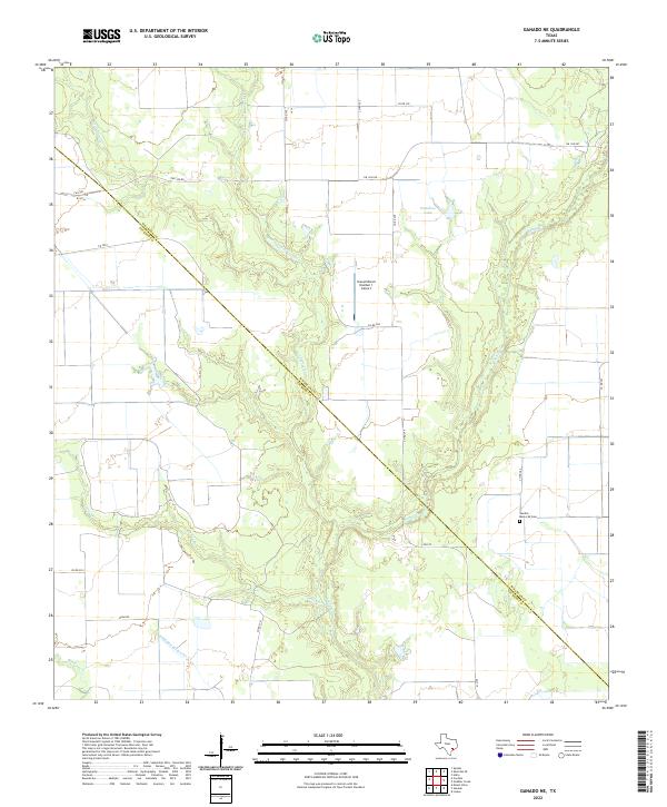
1965 Ganado NE
Wharton County, TX
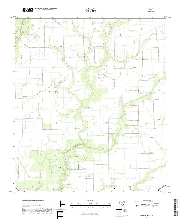
1965 Gobbler Creek
Wharton County, TX
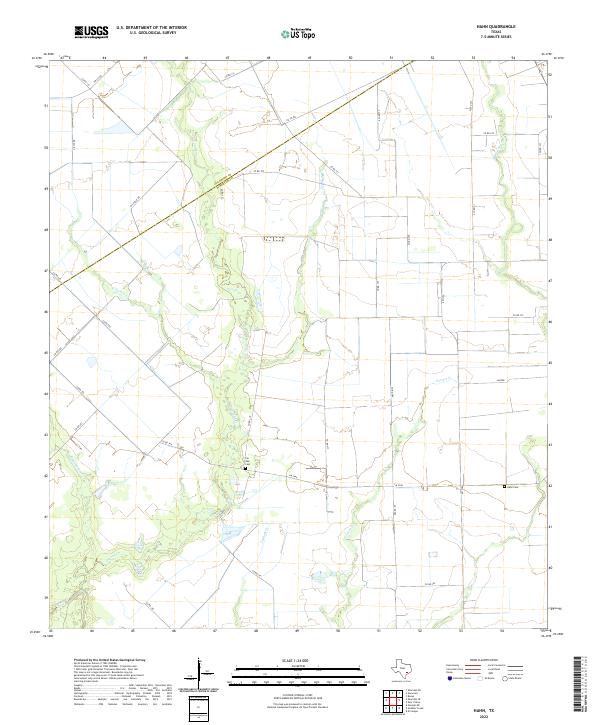
1965 Hahn
Wharton County, TX
2010 Bonus
Wharton County, TX
2010 Danevang
Wharton County, TX
2010 Egypt
Wharton County, TX
2010 El Campo SE
Wharton County, TX
2010 Ganado NE
Wharton County, TX
2010 Glen Flora
Wharton County, TX
2010 Gobbler Creek
Wharton County, TX
2010 Hahn
Wharton County, TX
2010 Lane City
Wharton County, TX
2010 Lissie
Wharton County, TX
2010 New Taiton
Wharton County, TX
2010 Pierce
Wharton County, TX
2010 Pledger
Wharton County, TX
2013 Bonus
Wharton County, TX
2013 Danevang
Wharton County, TX
2013 Egypt
Wharton County, TX
2013 El Campo SE
Wharton County, TX
2013 Ganado NE
Wharton County, TX
2013 Glen Flora
Wharton County, TX
2013 Gobbler Creek
Wharton County, TX
2013 Hahn
Wharton County, TX
2013 Lane City
Wharton County, TX
2013 Lissie
Wharton County, TX
2013 New Taiton
Wharton County, TX
2013 Pierce
Wharton County, TX
2013 Pledger
Wharton County, TX
2016 Bonus
Wharton County, TX
2016 Danevang
Wharton County, TX
2016 Egypt
Wharton County, TX
2016 El Campo SE
Wharton County, TX
2016 Ganado NE
Wharton County, TX
2016 Glen Flora
Wharton County, TX
2016 Gobbler Creek
Wharton County, TX
2016 Hahn
Wharton County, TX
2016 Lane City
Wharton County, TX
2016 Lissie
Wharton County, TX
2016 New Taiton
Wharton County, TX
2016 Pierce
Wharton County, TX
2016 Pledger
Wharton County, TX
2019 Bonus
Wharton County, TX
2019 Danevang
Wharton County, TX
2019 Egypt
Wharton County, TX
2019 El Campo SE
Wharton County, TX
2019 Ganado NE
Wharton County, TX
2019 Glen Flora
Wharton County, TX
2019 Gobbler Creek
Wharton County, TX
2019 Hahn
Wharton County, TX
2019 Lane City
Wharton County, TX
2019 Lissie
Wharton County, TX
2019 New Taiton
Wharton County, TX
2019 Pierce
Wharton County, TX
2019 Pledger
Wharton County, TX
2022 Bonus
Wharton County, TX
2022 Danevang
Wharton County, TX
2022 Egypt
Wharton County, TX
2022 El Campo SE
Wharton County, TX
2022 Ganado NE
Wharton County, TX
2022 Glen Flora
Wharton County, TX
2022 Gobbler Creek
Wharton County, TX
2022 Hahn
Wharton County, TX
2022 Lane City
Wharton County, TX
2022 Lissie
Wharton County, TX
2022 New Taiton
Wharton County, TX
2022 Pierce
Wharton County, TX
2022 Pledger
Wharton County, TX