1953 Map of Wharton
USGS Topo · Published 1954About this map
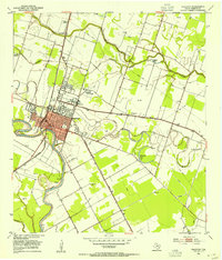
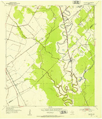
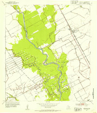
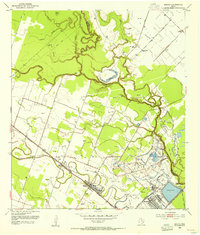
The Wharton townsite serves as the hub of this 1950s landscape, positioned prominently along a winding bend of the Colorado River. The area’s educational and social infrastructure is well-defined, featuring Wharton Junior College and the County Fairgrounds north of the central business district. Transportation patterns are dictated by the Southern Pacific and the Gulf Colorado and Santa Fe (AT&SF) railroads, which intersect near the river. Beyond the town grid, the landscape is defined by agricultural drainage systems like Baughman Slough and various oxbow formations including Halfmoon Lake and Manso Lake. Local history and genealogy are anchored by rural landmarks such as Little Zion Ch and its accompanying Little Zion Cem, alongside industry markers like the Gravel Pit and scattered Oil Wells.
Find a feature on this map
32 named features on this map. Tap any name to fly to it.
Don’t see what you’re looking for? This feature index may not catch every label — zoom into the map to look around manually.
Map Details
Editions of this 1953 Wharton Map
4 editions found
Other maps of this area

1950 · Houston
USGS Topo · 1:250,000
1952 · Pledger
USGS Topo · 1:24,000
1952 · Lane City
USGS Topo · 1:24,000
1952 · Pierce
USGS Topo · 1:24,000
1952 · Egypt
USGS Topo · 1:24,000
1953 · Kendleton
USGS Topo · 1:24,000
1953 · Hungerford
USGS Topo · 1:24,000
1953 · Glen Flora
USGS Topo · 1:24,000
1953 · Boling
USGS Topo · 1:24,000

1953 · Seguin
USGS Topo · 1:250,000