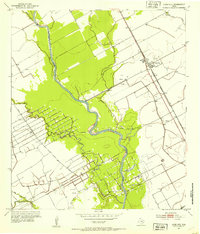
1952 Map of Lane City
USGS Topo · Published 1953About this map
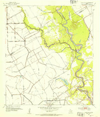
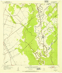
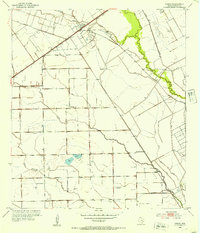
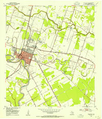
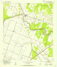
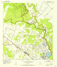
Lane City sits at the center of a landscape defined by petroleum extraction and hydraulic management in the early 1950s. The region is heavily marked by the energy industry, with an extensive network of Oil Wells and a specifically designated Old Field indicating a mature drilling landscape. The Colorado River meanders through the quadrangle, flanked by an intricate system of protective Levee structures and several tributaries, including Jarvis Creek and Jones Creek.
Find a feature on this map
17 named features on this map. Tap any name to fly to it.
Don’t see what you’re looking for? This feature index may not catch every label — zoom into the map to look around manually.
Map Details
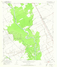
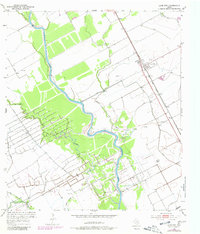
Editions of this 1952 Lane City Map
3 editions found
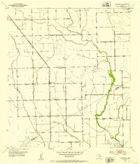
Other maps of this area

1950 · Houston
USGS Topo · 1:250,000
1951 · Danevang
USGS Topo · 1:24,000
1952 · Lane City SE
USGS Topo · 1:24,000
1952 · Pledger
USGS Topo · 1:24,000

1952 · Van Vleck
USGS Topo · 1:24,000
1952 · Pierce
USGS Topo · 1:24,000
1953 · Wharton
USGS Topo · 1:24,000
1953 · Glen Flora
USGS Topo · 1:24,000
1953 · Boling
USGS Topo · 1:24,000

1953 · Seguin
USGS Topo · 1:250,000