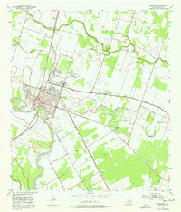
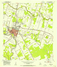
1953 Map of Wharton
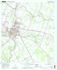
USGS Topo · Published 1981About this map
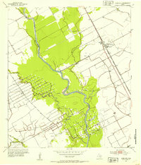
The Colorado River anchors this coastal plain landscape, winding past the county seat of Wharton during a period of mid-century educational and industrial expansion. The town is defined by its role as a regional hub, evidenced by the intersection of the Southern Pacific and Atchison Topeka and Santa Fe railroads, alongside the growing campus of Wharton Junior College and the County Fairgrounds.
Find a feature on this map
26 named features on this map. Tap any name to fly to it.
Don’t see what you’re looking for? This feature index may not catch every label — zoom into the map to look around manually.
Map Details
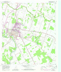
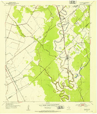
Editions of this 1953 Wharton Map
4 editions found
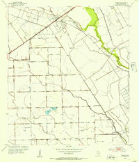
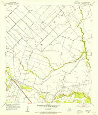
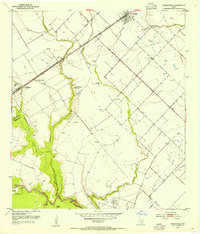
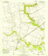
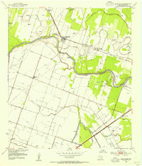
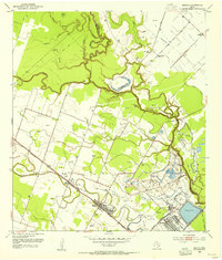
Other maps of this area

1950 · Houston
USGS Topo · 1:250,000
1952 · Pledger
USGS Topo · 1:24,000
1952 · Lane City
USGS Topo · 1:24,000
1952 · Pierce
USGS Topo · 1:24,000
1952 · Egypt
USGS Topo · 1:24,000
1953 · Kendleton
USGS Topo · 1:24,000
1953 · Wharton
USGS Topo · 1:24,000
1953 · Hungerford
USGS Topo · 1:24,000
1953 · Glen Flora
USGS Topo · 1:24,000
1953 · Boling
USGS Topo · 1:24,000