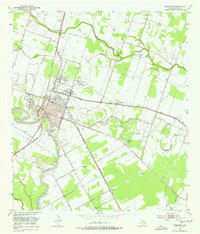
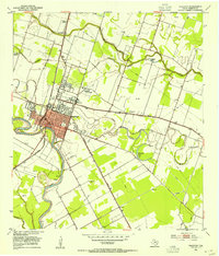
1953 Map of Wharton
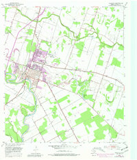
USGS Topo · Published 1981About this map
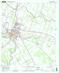
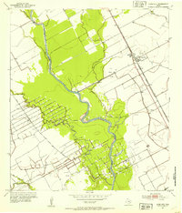
The Colorado River carves a deep arc through this coastal prairie landscape, anchoring the regional hub of Wharton. By the mid-20th century, the city had established itself as an educational and transit center, evidenced by the presence of Wharton Junior College and the junction of the Southern Pacific and the Atchison Topeka and Santa Fe railroads. Outside the main town, smaller community clusters like Dinsmore and Burr dot the rail lines, while agricultural drainage is managed through Baughman Slough and Peach Creek. To the northwest, local genealogy is centered around Little Zion Ch and its accompanying Little Zion Cem, alongside New Zion Bethel Ch. The map also illustrates the industrial presence of the era with a Gravel Pit near the river and numerous Pipe Line corridors crossing the terrain.
Find a feature on this map
24 named features on this map. Tap any name to fly to it.
Don’t see what you’re looking for? This feature index may not catch every label — zoom into the map to look around manually.
Map Details
Editions of this 1953 Wharton Map
4 editions found
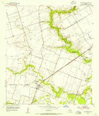
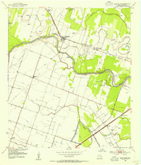
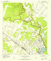
Other maps of this area

1950 · Houston
USGS Topo · 1:250,000
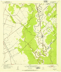
1952 · Pledger
USGS Topo · 1:24,000
1952 · Lane City
USGS Topo · 1:24,000
1952 · Pierce
USGS Topo · 1:24,000
1952 · Egypt
USGS Topo · 1:24,000
1953 · Kendleton
USGS Topo · 1:24,000
1953 · Wharton
USGS Topo · 1:24,000
1953 · Hungerford
USGS Topo · 1:24,000
1953 · Glen Flora
USGS Topo · 1:24,000
1953 · Boling
USGS Topo · 1:24,000