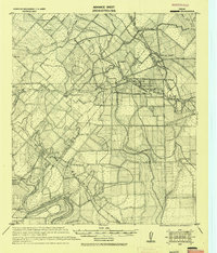
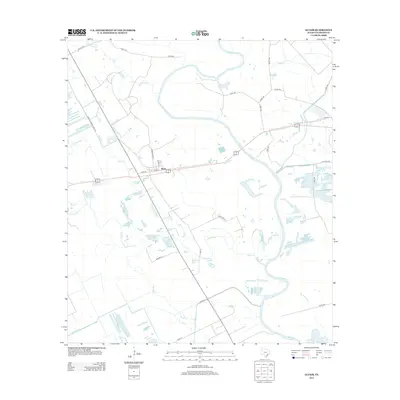
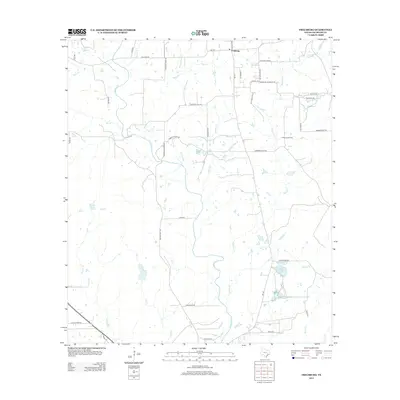
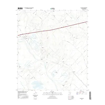
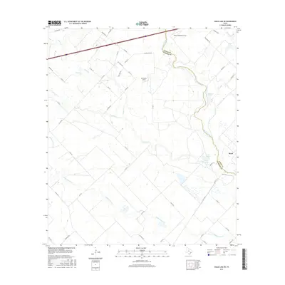
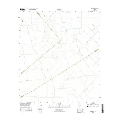
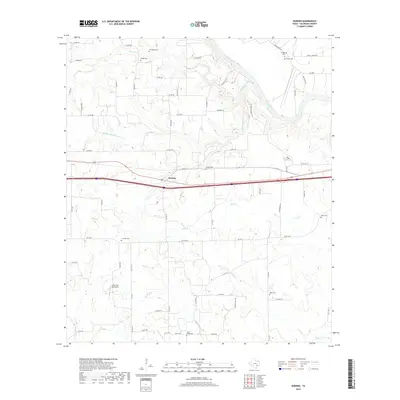
1919 Map of Fayettsville
USGS Topo · Published 1919About this map
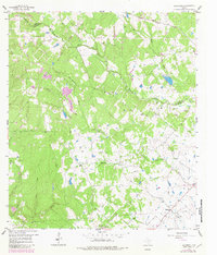
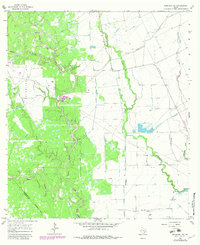
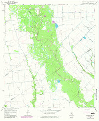
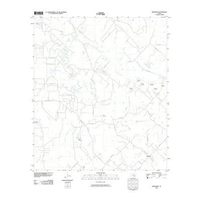
Cummins Creek winds through this rural Texas landscape as it appeared during the late 1910s, defining a region where the borders of Austin, Fayette, and Colorado counties converge. The settlement pattern is anchored by Fayetteville and Ellinger, connected by the Missouri Kansas and Texas Railway. These small agrarian hubs are surrounded by family-named localities and railroad points like Halle Siding, Riser, and Hatter, illustrating the importance of rail transit to the local economy before the dominance of modern highways.
Find a feature on this map
31 named features on this map. Tap any name to fly to it.
Don’t see what you’re looking for? This feature index may not catch every label — zoom into the map to look around manually.
Map Details
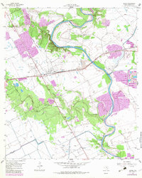
Editions of this 1919 Fayettsville Map
This is the sole edition of this map. No revisions or reprints were ever made.
Historical Maps of Industry Through Time
55 maps found
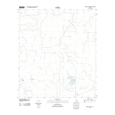
1919 Fayettsville
Colorado County, TX
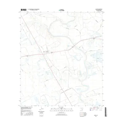
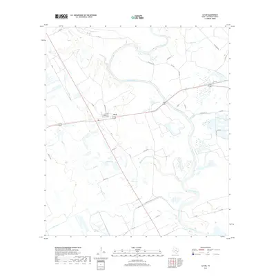
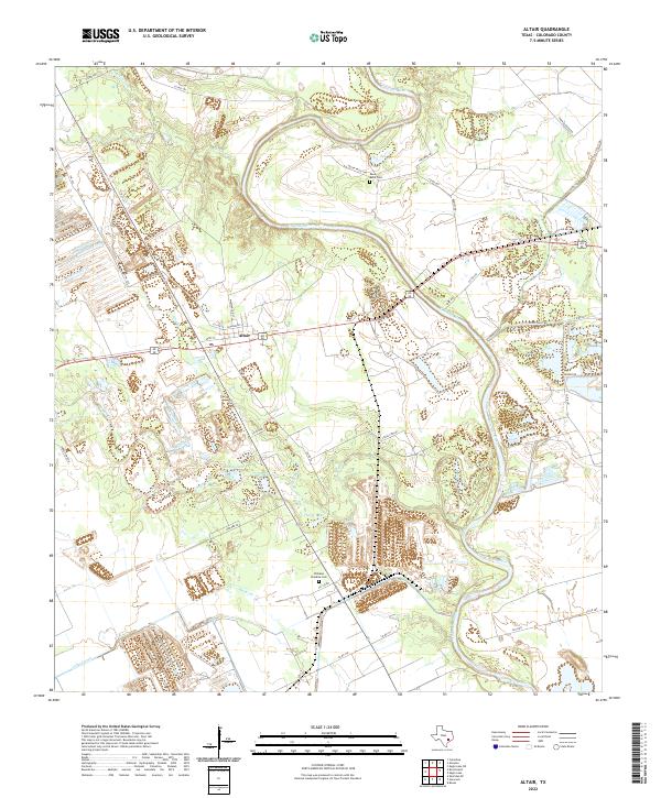
1957 Altair
Colorado County, TX
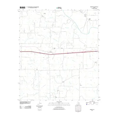
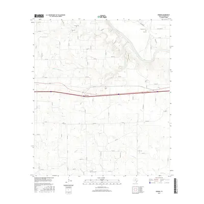
1957 Borden
Colorado County, TX
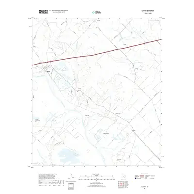
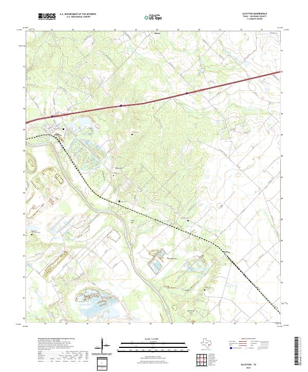
1958 Alleyton
Colorado County, TX
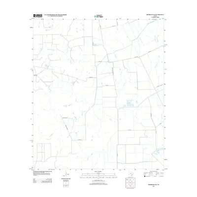
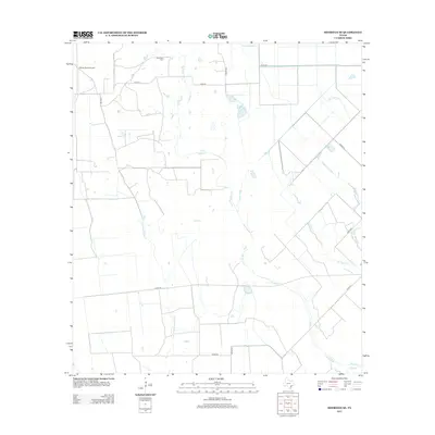
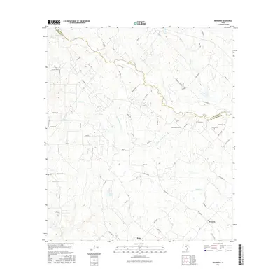
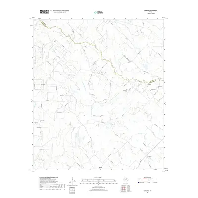
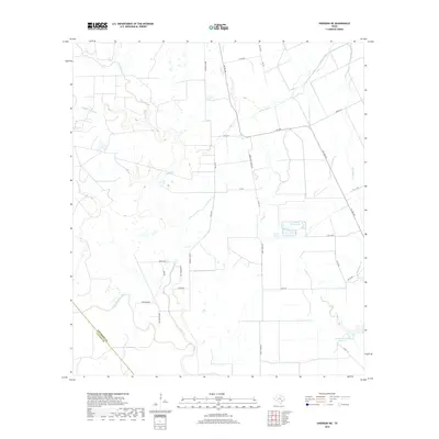
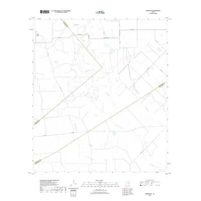
1958 Bernardo
Colorado County, TX
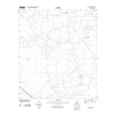
1958 Frelsburg
Colorado County, TX
1963 Eagle Lake NE
Colorado County, TX
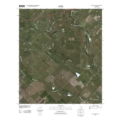
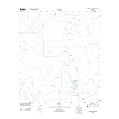
1965 Sawmill Branch
Colorado County, TX
1965 Sheridan NE
Colorado County, TX
1965 Sheridan SE
Colorado County, TX
2010 Alleyton
Colorado County, TX
2010 Altair
Colorado County, TX
2010 Bernardo
Colorado County, TX
2010 Borden
Colorado County, TX
2010 Eagle Lake NE
Colorado County, TX
2010 Frelsburg
Colorado County, TX
2010 Sawmill Branch
Colorado County, TX
2010 Sheridan NE
Colorado County, TX
2010 Sheridan SE
Colorado County, TX
2013 Alleyton
Colorado County, TX
2013 Altair
Colorado County, TX
2013 Bernardo
Colorado County, TX
2013 Borden
Colorado County, TX
2013 Eagle Lake NE
Colorado County, TX
2013 Frelsburg
Colorado County, TX
2013 Sawmill Branch
Colorado County, TX
2013 Sheridan NE
Colorado County, TX
2013 Sheridan SE
Colorado County, TX
2016 Alleyton
Colorado County, TX
2016 Altair
Colorado County, TX
2016 Bernardo
Colorado County, TX
2016 Borden
Colorado County, TX
2016 Eagle Lake NE
Colorado County, TX
2016 Frelsburg
Colorado County, TX
2016 Sawmill Branch
Colorado County, TX
2016 Sheridan NE
Colorado County, TX
2016 Sheridan SE
Colorado County, TX
2019 Alleyton
Colorado County, TX
2019 Altair
Colorado County, TX
2019 Bernardo
Colorado County, TX
2019 Borden
Colorado County, TX
2019 Eagle Lake NE
Colorado County, TX
2019 Frelsburg
Colorado County, TX
2019 Sawmill Branch
Colorado County, TX
2019 Sheridan NE
Colorado County, TX
2019 Sheridan SE
Colorado County, TX
2022 Alleyton
Colorado County, TX
2022 Altair
Colorado County, TX
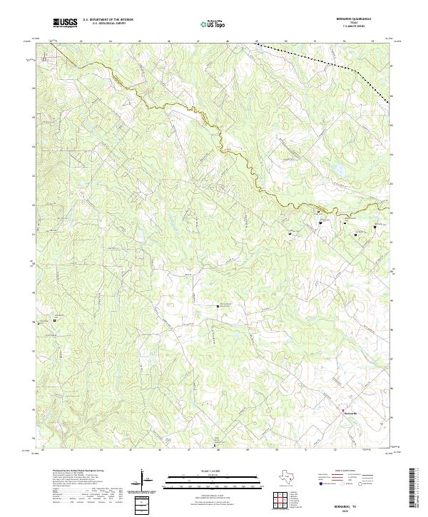
2022 Bernardo
Colorado County, TX
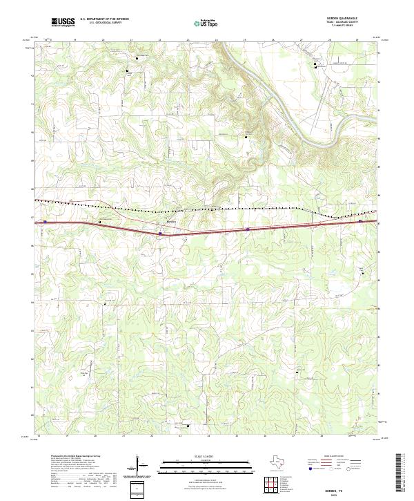
2022 Borden
Colorado County, TX
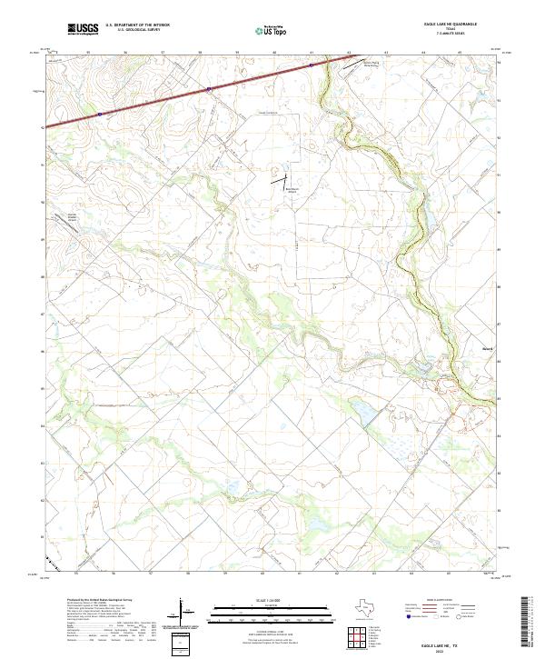
2022 Eagle Lake NE
Colorado County, TX
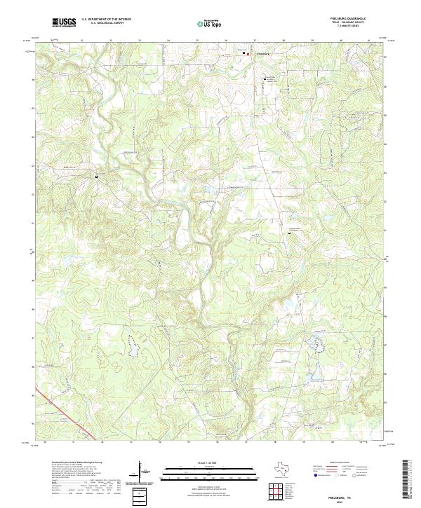
2022 Frelsburg
Colorado County, TX
2022 Sawmill Branch
Colorado County, TX
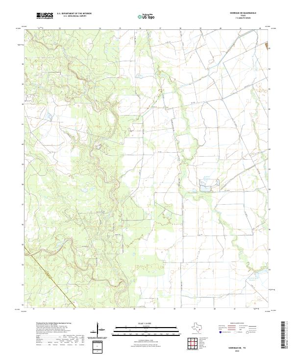
2022 Sheridan NE
Colorado County, TX
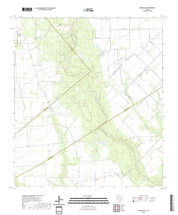
2022 Sheridan SE
Colorado County, TX