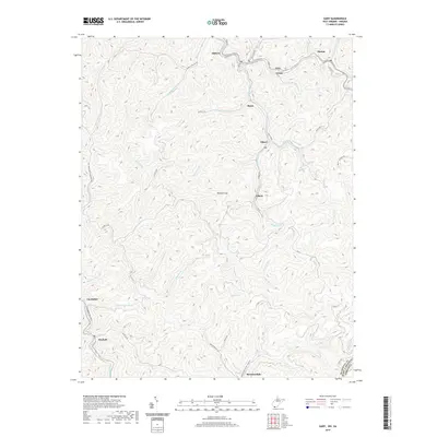
2001 Map of Gary
USGS Topo · Published 2003About this map
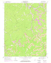
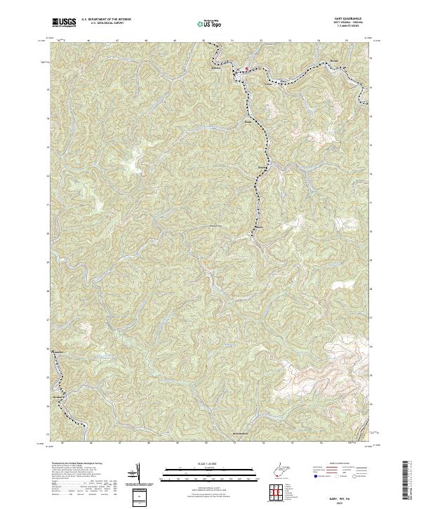
Gary and the surrounding hollows of McDowell County are defined by a landscape of intensive extraction at the dawn of the 21st century. This survey documents the complex industrial footprint along Sandlick Creek and the Tug Fork, where numerous Mine locations, Mine Dump sites, and a Tipple near Thorpe signify the area's deep coal-mining roots. The settlement pattern follows the narrow valley floors, connecting communities like Elbert, Filbert, and Venus through a network of winding roads and resource-driven infrastructure. To the southwest, the terrain transitions into the Berwind Lake State Wildlife Management Area, offering a contrast to the industrial activity seen at the northern end of the quadrangle. Genealogists and historians will find significant value in the location of several Cemeteries and small hamlets like Newhall and Cucumber, which remain anchored to the rugged ridges and branches of the Big Creek drainage.
Find a feature on this map
43 named features on this map. Tap any name to fly to it.
Don’t see what you’re looking for? This feature index may not catch every label — zoom into the map to look around manually.
Map Details
Editions of this 2001 Gary Map
This is the sole edition of this map. No revisions or reprints were ever made.
Historical Maps of Gary Through Time
7 maps found