Loading...
Loading map...2022 Map of Gatesville
USGS Topo · Published 2022About this map
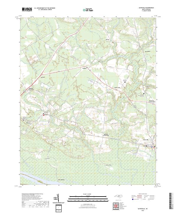
The Gates County Courthouse serves as the focal point for this section of northeastern North Carolina, situated in the town of Gatesville. The landscape is defined by the expansive wetlands of the coastal plain, with names like Whiteoak Pocosin and Horsepen Pocosin indicating the unique swampy forest terrain characteristic of the region. To the south, the Chowan River forms a natural boundary, fed by numerous small tributaries such as Sarem Creek and Cole Cr.
Find a feature on this map
79 named features on this map. Tap any name to fly to it.
Don’t see what you’re looking for? This feature index may not catch every label — zoom into the map to look around manually.
Map Details
Date Portrayed2022
Date Published2022
PublisherU.S. Geological Survey
Map TypeTopographic
Scale1:24000
Physical Dimensions24 x 29 inches
Editions of this 2022 Gatesville Map
This is the sole edition of this map. No revisions or reprints were ever made.
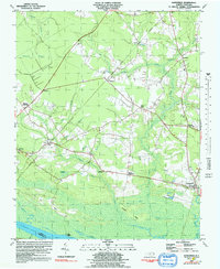
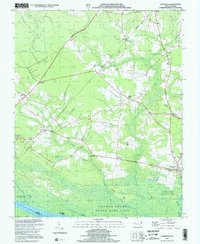
Historical Maps of Rays Beach Through Time
3 maps found
Featured Locations
Source Details
SourceU.S. Geological Survey
CopyrightPublic Domain