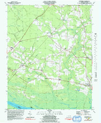
1981 Map of Gatesville
USGS Topo · Published 1992About this map
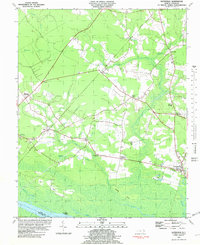
Gatesville serves as the focal point for this Gates County landscape, which is defined by the dense wetlands of the Chowan River floodplain. The interior terrain is characterized by large wooded basins like Whiteoak Pocosin and Horsepen Pocosin, broken up by family-named settlements and crossroads. The rural character of the area is emphasized by the high concentration of country churches, including Kittrells Ch, Ballards Grove Ch, and Cool Spring Ch, many with adjacent cemeteries that offer significant value for genealogical research.
Find a feature on this map
44 named features on this map. Tap any name to fly to it.
Don’t see what you’re looking for? This feature index may not catch every label — zoom into the map to look around manually.
Map Details
Editions of this 1981 Gatesville Map
2 editions found
Other maps of this area

1906 · Beckford
USGS Topo · 1:48,000

1907 · Beckford
USGS Topo · 1:62,500

1908 · Winton
USGS Topo · 1:62,500

1919 · Suffolk
USGS Topo · 1:62,500

1920 · Holland
USGS Topo · 1:62,500

1940 · Beckford
USGS Topo · 1:62,500

1943 · Holland
USGS Topo · 1:62,500

1953 · Norfolk
USGS Topo · 1:250,000
1954 · Suffolk
USGS Topo · 1:62,500

1957 · Holland
USGS Topo · 1:62,500