2024 Map of Gaylesville
USGS Topo · Published 2024About this map
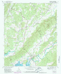
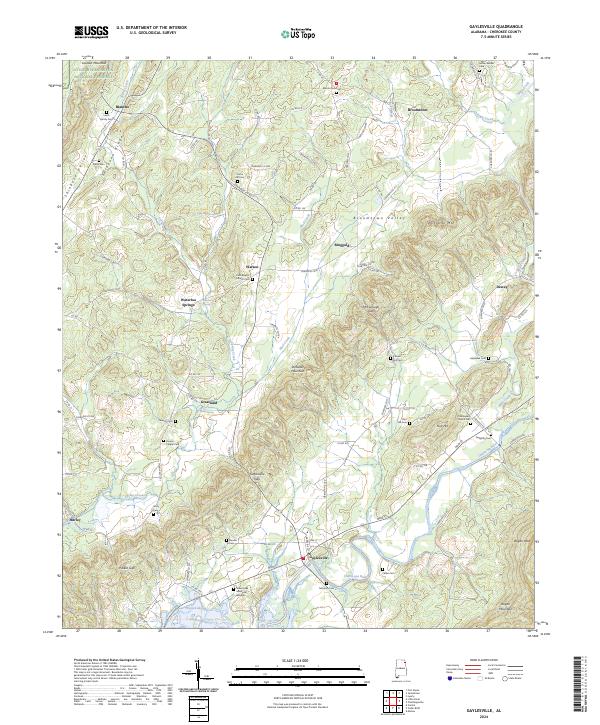
Gaylesville sits at the foot of Dirtseller Mountain, a prominent ridge that defines the local topography alongside Shinbone Ridge. This landscape is characterized by the broad Broomtown Valley and the sharp relief of Lookout Mountain to the northwest, where the edge of the Little River Canyon National Preserve is visible. The southern portion of the map is dominated by the waters of Weiss Lake and the winding course of the Chattooga River, which has historically shaped the agricultural and settlement patterns of this corner of Cherokee County. Numerous family and community burial sites, such as the Leath Family Cem and Oak Bowery Church Cem, are scattered across the terrain. These landmarks, along with small settlements like Blanche and Ringgold, provide a detailed record of the area's rural heritage and long-standing family lineages near the Georgia state line.
Find a feature on this map
95 named features on this map. Tap any name to fly to it.
Don’t see what you’re looking for? This feature index may not catch every label — zoom into the map to look around manually.
Map Details
Editions of this 2024 Gaylesville Map
This is the sole edition of this map. No revisions or reprints were ever made.