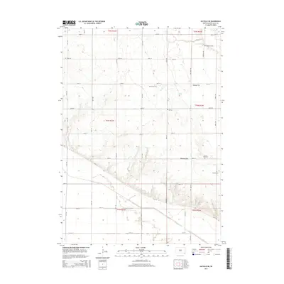
2015 Map of Gayville NE
USGS Topo · Published 2015About this map
Westreville and the surrounding township in Clay County are defined by a grid of rural roads and scattered historical landmarks. The landscape transitions from the higher elevations of Cabbage Flat and the northern drainages of Norwegian Gulch down toward the southern lowlands shaped by the Clay Cr Ditch. This 2015 survey reveals a terrain heavily utilized for agriculture, where drainage is managed by both natural and artificial means, including Spring Cr and the Dillon Spring. For genealogists, the map is particularly useful for locating numerous small burial grounds that mark the heritage of the early settler families, such as Union Cem, Saint Patricks Cem, and the South Lodi Cem. The southern edge is defined by Bluff Rd, which follows the topographical break overlooking the Missouri River valley floor just beyond the quadrangle boundary.
Find a feature on this map
36 named features on this map. Tap any name to fly to it.
Don’t see what you’re looking for? This feature index may not catch every label — zoom into the map to look around manually.
Map Details
Editions of this 2015 Gayville NE Map
This is the sole edition of this map. No revisions or reprints were ever made.
Other maps of this area

1897 · Canton
USGS Topo · 1:125,000

1898 · Parker
USGS Topo · 1:125,000

1898 · Elk Point
USGS Topo · 1:125,000

1900 · Canton
USGS Topo · 1:125,000

1901 · Elk Point
USGS Topo · 1:125,000

1907 · Elk Point
USGS Topo · 1:125,000

1955 · Sioux City
USGS Topo · 1:250,000

1955 · Sioux Falls
USGS Topo · 1:250,000

1957 · Gayville
USGS Topo · 1:24,000

1958 · Sioux City
USGS Topo · 1:250,000
Featured Places
- Pleasant Valley Township, SD
- Riverside Township, SD
- Meckling Township, SD
- Star Township, SD
- Bethel Township, SD