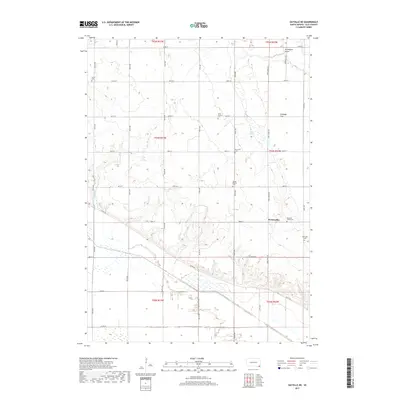
2017 Map of Gayville NE
USGS Topo · Published 2017About this map
Westreville serves as a focal point in this agricultural landscape of southeastern South Dakota, situated near the intersection of 308th St and Bluff Rd. The area is characterized by a dense distribution of rural burial grounds, reflecting the diverse denominational and ethnic heritage of Clay County's early settlers. Prominent sites include Saint Patricks Cem, Bethel Baptist Cem, and Mortvedt Cem, alongside the Union Cem and New Lodi Cem.
Find a feature on this map
28 named features on this map. Tap any name to fly to it.
Don’t see what you’re looking for? This feature index may not catch every label — zoom into the map to look around manually.
Map Details
Editions of this 2017 Gayville NE Map
This is the sole edition of this map. No revisions or reprints were ever made.
Other maps of this area

1897 · Canton
USGS Topo · 1:125,000

1898 · Parker
USGS Topo · 1:125,000

1898 · Elk Point
USGS Topo · 1:125,000

1900 · Canton
USGS Topo · 1:125,000

1901 · Elk Point
USGS Topo · 1:125,000

1907 · Elk Point
USGS Topo · 1:125,000

1955 · Sioux City
USGS Topo · 1:250,000

1955 · Sioux Falls
USGS Topo · 1:250,000

1957 · Gayville
USGS Topo · 1:24,000

1958 · Sioux City
USGS Topo · 1:250,000
Featured Places
- Pleasant Valley Township, SD
- Riverside Township, SD
- Meckling Township, SD
- Star Township, SD
- Bethel Township, SD