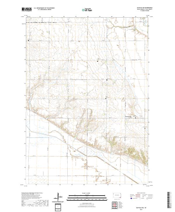
2021 Map of Gayville NE
USGS Topo · Published 2021About this map
Clay County's rural landscape is defined here by a dense network of sectional roads and historic burial grounds, illustrating the steady settlement patterns of southeastern South Dakota. The topography transitions from the elevated Cabbage Flat and the depressions of Norwegian Gulch down toward the Vermillion River in the northeast corner. This 2021 survey reveals a quiet agricultural interior punctuated by several community landmarks, including Saint Patricks Cem and New Lodi Cem.
Find a feature on this map
39 named features on this map. Tap any name to fly to it.
Don’t see what you’re looking for? This feature index may not catch every label — zoom into the map to look around manually.
Map Details
Editions of this 2021 Gayville NE Map
This is the sole edition of this map. No revisions or reprints were ever made.
Other maps of this area

1897 · Canton
USGS Topo · 1:125,000

1898 · Parker
USGS Topo · 1:125,000

1898 · Elk Point
USGS Topo · 1:125,000

1900 · Canton
USGS Topo · 1:125,000

1901 · Elk Point
USGS Topo · 1:125,000

1907 · Elk Point
USGS Topo · 1:125,000

1955 · Sioux City
USGS Topo · 1:250,000

1955 · Sioux Falls
USGS Topo · 1:250,000

1957 · Gayville
USGS Topo · 1:24,000

1958 · Sioux City
USGS Topo · 1:250,000
Featured Places
- Spirit Mound Township, SD
- Pleasant Valley Township, SD
- Westreville, SD
- Riverside Township, SD
- Star Township, SD