2024 Map of Geiger
USGS Topo · Published 2024About this map
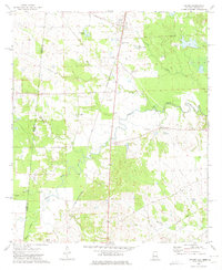
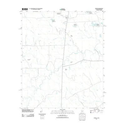
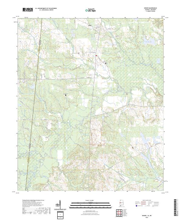
Geiger sits at the northern edge of this landscape, where the agricultural flats of Sumter County meet the state line of Kemper County, Mississippi. This 2024 map documents a rural corridor shaped by the meandering courses of Bodka Creek and Hatcher Creek. For local historians and genealogists, the survey identifies several small family or community landmarks, including Rancher Cem, Jerusalem Cem, and the Souls Chapel Cem. A significant tract labeled as Farm Service Agency Interest of Alabama occupies the central region, indicating modern land management patterns.
Find a feature on this map
49 named features on this map. Tap any name to fly to it.
Don’t see what you’re looking for? This feature index may not catch every label — zoom into the map to look around manually.
Map Details
Editions of this 2024 Geiger Map
This is the sole edition of this map. No revisions or reprints were ever made.
Historical Maps of Geiger Through Time
6 maps found