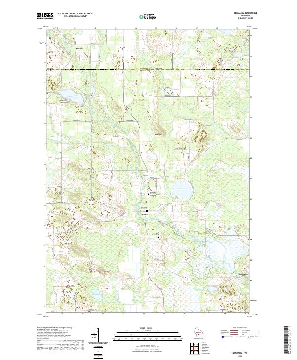
2022 Map of Germania
USGS Topo · Published 2022About this map
The Mecan River meanders through this portion of central Wisconsin, defining a landscape marked by small agricultural settlements and extensive wetlands. The village of Germania anchors the southeast corner, while the community of Budsin sits further west near the junction of several local routes. This area is characterized by a high density of rural burial sites and churches, providing significant genealogical value through locations like Saint Johns Lutheran Cem, Tagatz Cem, and the Emmanuel Evangelical Crystal Lake Cem near Tuttle Lake.
Find a feature on this map
49 named features on this map. Tap any name to fly to it.
Don’t see what you’re looking for? This feature index may not catch every label — zoom into the map to look around manually.
Map Details
Editions of this 2022 Germania Map
This is the sole edition of this map. No revisions or reprints were ever made.
Historical Maps of Germania Through Time
8 maps found
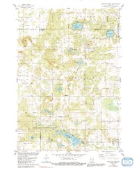
1979 Westfield West
Marquette County, WI
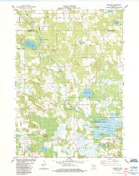
1984 Germania
Marquette County, WI
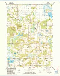
1984 Observatory Hill
Marquette County, WI
1984 Westfield East
Marquette County, WI
2022 Germania
Marquette County, WI
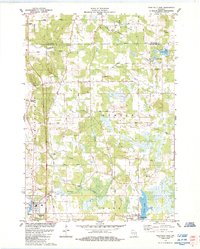
2022 Observatory Hill
Marquette County, WI
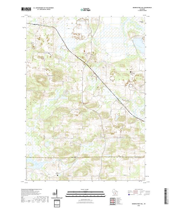
2022 Westfield East
Marquette County, WI
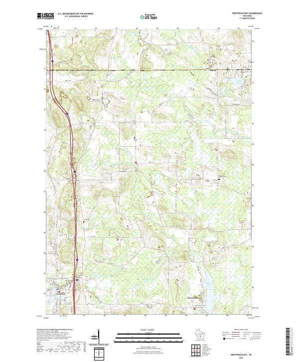
2022 Westfield West
Marquette County, WI