
1918 Map of Neshkoro
USGS Topo · Published 1918About this map
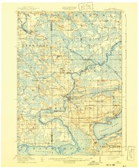
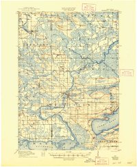
The Fox River corridor and its industrial-era infrastructure dominate this landscape, which spans the junctions of Marquette, Green Lake, and Waushara counties. In the town of Princeton, the river's winding path is regulated by the Princeton Lock, while further northeast, the White River Lock marks the confluence where the White River meets the main channel. These hydraulic improvements suggest the importance of river navigation and water power during the early 20th century.
Find a feature on this map
62 named features on this map. Tap any name to fly to it.
Don’t see what you’re looking for? This feature index may not catch every label — zoom into the map to look around manually.
Map Details
Editions of this 1918 Neshkoro Map
3 editions found
Other maps of this area

1902 · Portage
USGS Topo · 1:62,500

1915 · Neshkoro
USGS Topo · 1:48,000

1916 · Ripon
USGS Topo · 1:48,000

1918 · Ripon
USGS Topo · 1:62,500

1955 · Randolph
USGS Topo · 1:62,500

1955 · Fox Lake
USGS Topo · 1:62,500

1955 · Green Bay
USGS Topo · 1:250,000

1956 · Ripon
USGS Topo · 1:62,500

1957 · Madison
USGS Topo · 1:250,000

1959 · Wautoma
USGS Topo · 1:48,000