
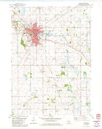
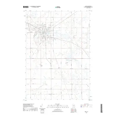
1918 Map of Ripon
USGS Topo · Published 1918About this map
The Fox River snakes through the northwest corner of this Wisconsin survey, anchoring the industrial and agricultural landscape of Fond du Lac and Winnebago counties during the First World War era. At the center of the regional rail network, Ripon and Berlin serve as primary hubs, connected by the Chicago Milwaukee and St Paul and Chicago and Northwestern lines. These railroads enabled the growth of lakeside communities and the export of goods from the surrounding fertile plains.
Find a feature on this map
75 named features on this map. Tap any name to fly to it.
Don’t see what you’re looking for? This feature index may not catch every label — zoom into the map to look around manually.
Map Details
Editions of this 1918 Ripon Map
This is the sole edition of this map. No revisions or reprints were ever made.
Historical Maps of Ripon Through Time
9 maps found


Featured Locations
- City of Berlin, WI
- City of Green Lake, WI
- Ripon, WI
- Berlin, City of Berlin
- Green Lake, City of Green Lake