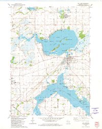
1955 Map of Fox Lake
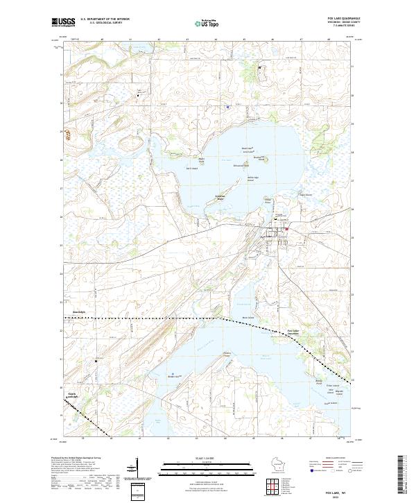
USGS Topo · Published 1957About this map
Fox Lake and its numerous named islands, including Dead Island and McFetridge Island, serve as the centerpiece for this mid-century look at the Wisconsin countryside. The landscape is a dense network of rural infrastructure, where nearly every township section supports a schoolhouse, such as Lonely Cedar Sch and Sunny Hillside Sch. The rail lines of the Chicago Milwaukee St Paul and Pacific tie together the larger settlements of Markesan and Brandon, while smaller hubs like Alto and Buckhorn Corner maintain their local identities.
Find a feature on this map
99 named features on this map. Tap any name to fly to it.
Don’t see what you’re looking for? This feature index may not catch every label — zoom into the map to look around manually.
Map Details
Editions of this 1955 Fox Lake Map
This is the sole edition of this map. No revisions or reprints were ever made.