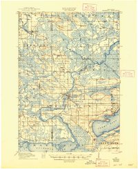
1918 Map of Neshkoro
USGS Topo · Published 1948About this map
Princeton serves as a primary hub where the Fox River and the Chicago and Northwestern Ry intersect, revealing a landscape defined by its vital river-and-rail economy during the early twentieth century. This survey, completed in 1915, documents the engineering of the Fox River navigation system, marked by the Princeton Lock and White River Lock. These features underscore the river's role as a commercial artery before the era of modern highways.
Find a feature on this map
55 named features on this map. Tap any name to fly to it.
Don’t see what you’re looking for? This feature index may not catch every label — zoom into the map to look around manually.
Map Details
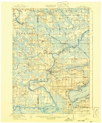
Editions of this 1918 Neshkoro Map
3 editions found
Other maps of this area

1902 · Portage
USGS Topo · 1:62,500

1915 · Neshkoro
USGS Topo · 1:48,000

1916 · Ripon
USGS Topo · 1:48,000

1918 · Neshkoro
USGS Topo · 1:62,500

1918 · Ripon
USGS Topo · 1:62,500

1955 · Randolph
USGS Topo · 1:62,500

1955 · Fox Lake
USGS Topo · 1:62,500

1955 · Green Bay
USGS Topo · 1:250,000

1956 · Ripon
USGS Topo · 1:62,500

1957 · Madison
USGS Topo · 1:250,000