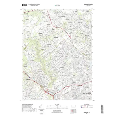
2019 Map of Germantown
USGS Topo · Published 2019About this map
Wissahickon Creek and the Schuylkill River carve through this densely populated landscape on the northwest edge of Philadelphia. The map illustrates a complex urban and suburban fabric where historic neighborhoods like Germantown and Manayunk meet the expansive parklands of Independence National Historical Park. The concentration of educational institutions is notable, including Chestnut Hill College and Arcadia University, alongside numerous religious landmarks such as Holy Sepulchre Cem and the United Lutheran Seminary Philadelphia Campus.
Find a feature on this map
137 named features on this map. Tap any name to fly to it.
Don’t see what you’re looking for? This feature index may not catch every label — zoom into the map to look around manually.
Map Details
Editions of this 2019 Germantown Map
This is the sole edition of this map. No revisions or reprints were ever made.
Other maps of this area

1891 · Philadelphia
USGS Topo · 1:62,500

1893 · Germantown
USGS Topo · 1:62,500

1894 · Chester
USGS Topo · 1:62,500

1894 · Philadelphia
USGS Topo · 1:62,500

1894 · Norristown
USGS Topo · 1:62,500

1894 · Germantown
USGS Topo · 1:62,500

1895 · Norristown
USGS Topo · 1:62,500

1896 · Germantown
USGS Topo · 1:62,500

1896 · Philadelphia
USGS Topo · 1:62,500

1896 · Norristown
USGS Topo · 1:62,500
Featured Places
- Philadelphia, PA
- Abington Township, PA
- Cheltenham Township, PA
- Whitemarsh Township, PA
- Glenside, Cheltenham Township