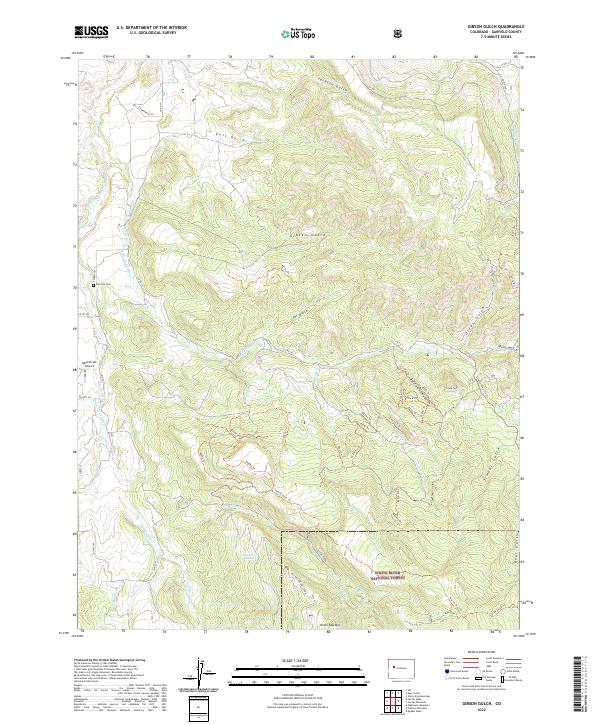
2022 Map of Gibson Gulch
USGS Topo · Published 2022About this map
The high drainages of Gibson Gulch and Tar Gulch characterize this high-country landscape within the White River National Forest. At this elevation, the intricate network of irrigation systems like the Mulla-Trina Ditch, E Divide Cr Ditch, and Potter Ditch demonstrates the complex water management required to support the local geography. Significant peaks such as Crown Peak and Uncle Bob Mtn overlook a series of specialized trails, including the Prairie Mesa Trl and various numbered forest routes.
Find a feature on this map
70 named features on this map. Tap any name to fly to it.
Don’t see what you’re looking for? This feature index may not catch every label — zoom into the map to look around manually.
Map Details
Editions of this 2022 Gibson Gulch Map
This is the sole edition of this map. No revisions or reprints were ever made.
Other maps of this area

1906 · Grand Hogback
USGS Topo · 1:125,000

1910 · Grand Hogback
USGS Topo · 1:125,000

1927 · Glenwood Springs
USGS Topo · 1:125,000

1930 · Glenwood Springs
USGS Topo · 1:125,000

1957 · Leadville
USGS Topo · 1:250,000

1959 · Leadville
USGS Topo · 1:250,000

1960 · Leadville
USGS Topo · 1:250,000

1962 · Leadville
USGS Topo · 1:250,000

1962 · New Castle
USGS Topo · 1:24,000

1962 · Storm King Mountain
USGS Topo · 1:24,000