2022 Map of Gibson
USGS Topo · Published 2022About this map
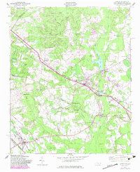
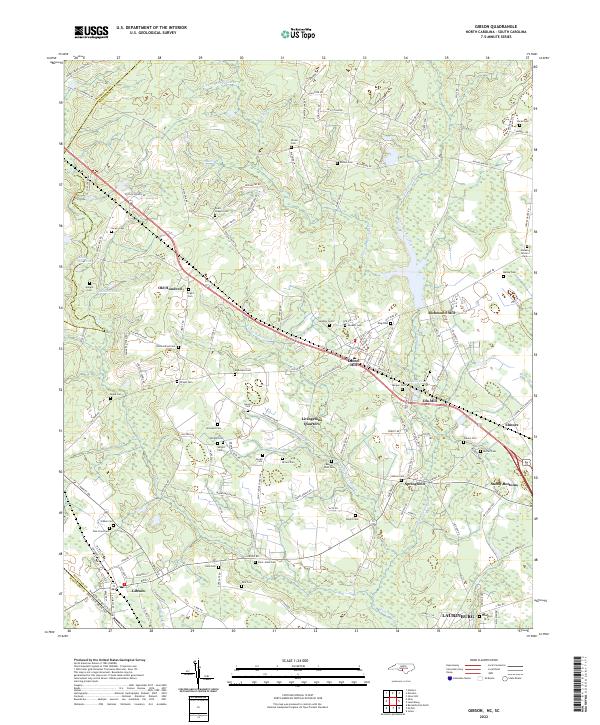
Gibson and the surrounding rural landscape near the South Carolina border remain defined by a network of family cemeteries and historic industrial sites. The area exhibits a pattern of development tied to water power and early industry, evidenced by Richmond Mill and Ida Mill, with the latter accompanied by the significant Ida Mill Pond. The terrain is characterized by numerous small drainages such as Gumswamp Creek, Lee Cr, and Panther Cr, which carved the land into the distinct ridges where settlements like Old Hundred, Laurel Hill, and Livingstons Quarters were established. Genealogists will find a high density of burial sites across the landscape, including the Old Hundred Cem, Saint Johns Cem, and Beaver Dam Cem. The presence of Guinn Mill Pond and McNeill Pond further illustrates the historic reliance on the region's creeks for local enterprise and community structure.
Find a feature on this map
143 named features on this map. Tap any name to fly to it.
Don’t see what you’re looking for? This feature index may not catch every label — zoom into the map to look around manually.
Map Details
Editions of this 2022 Gibson Map
This is the sole edition of this map. No revisions or reprints were ever made.
Historical Maps of Elmore Crossroads Through Time
3 maps found