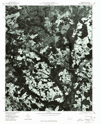
1976 Map of Gibson
USGS Topo · Published 1978About this map
Laurel Hill and the surrounding agricultural landscape of Scotland County are captured in this mid-1970s orthophotograph, providing a clear visual record of land use and settlement patterns. The map shows a region defined by a mix of dense forest and cleared fields, where small clusters of development like Gibson and Old Hundred sit alongside the rail corridors and country roads. Near the center of the image, the dark waters of Richmond Mill Lake stand out against the textured topography. This 1976 aerial perspective allows for a precise study of property boundaries and the rural infrastructure of Springfield before the further modernization of the late twentieth century. It is a valuable document for understanding how the local environment was partitioned between industrial mill sites and traditional farming during this era.
Find a feature on this map
5 named features on this map. Tap any name to fly to it.
Don’t see what you’re looking for? This feature index may not catch every label — zoom into the map to look around manually.
Map Details
Editions of this 1976 Gibson Map
This is the sole edition of this map. No revisions or reprints were ever made.
Other maps of this area

1942 · Rockingham
USGS Topo · 1:125,000

1949 · Gibson
USGS Topo · 1:24,000

1949 · Ghio
USGS Topo · 1:24,000

1949 · Laurinburg
USGS Topo · 1:24,000

1949 · Silver Hill
USGS Topo · 1:24,000

1949 · Marston
USGS Topo · 1:24,000

1949 · Hamlet
USGS Topo · 1:24,000

1949 · Hamlet
USGS Topo · 1:62,500

1949 · Laurinburg
USGS Topo · 1:62,500

1953 · Florence
USGS Topo · 1:250,000