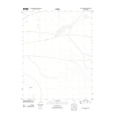
2011 Map of Gillis Canyon NW
USGS Topo · Published 2011About this map
Walker River Valley defines the lower-lying terrain in this portion of Mineral County, where a sparse network of roads and natural springs dictates the movement of people and livestock. The area is anchored by the presence of Double Spring, a vital water source in the arid Nevada landscape. Travelers and locals navigate the region via Double Springs Rd, which cuts across the basin and connects the remote reaches of the valley. This 2011 survey by the U.S. Geological Survey illustrates the intersection of vital desert hydrology and the basic transportation infrastructure necessary for ranching or travel in the high desert of the Great Basin.
Find a feature on this map
3 named features on this map. Tap any name to fly to it.
Don’t see what you’re looking for? This feature index may not catch every label — zoom into the map to look around manually.
Map Details
Editions of this 2011 Gillis Canyon NW Map
This is the sole edition of this map. No revisions or reprints were ever made.
Other maps of this area

1908 · Carson Sink
USGS Topo · 1:250,000

1909 · Hawthorne
USGS Topo · 1:250,000

1910 · Carson Sink
USGS Topo · 1:250,000

1911 · Hawthorne
USGS Topo · 1:250,000

1915 · Hawthorne
USGS Topo · 1:250,000

1948 · Walker Lake
USGS Topo · 1:250,000

1951 · Allen Springs
USGS Topo · 1:62,500

1951 · Weber Reservoir
USGS Topo · 1:62,500

1957 · Walker Lake
USGS Topo · 1:250,000

1957 · Reno
USGS Topo · 1:250,000