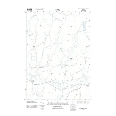
2012 Map of Gilson Mountain
USGS Topo · Published 2012About this map
The Lamoille River cuts through the southern reaches of this Franklin County terrain, anchoring the settlement of Fairfax Falls. To the north, the landscape is defined by the high ground of Gilson Mountain, Buck Mountain, and Coombs Hill, with small communities like Binghamville and Fletcher established along the valley roads. The distribution of small burial grounds, including Binghamville Cem, Mudgett Cem, and the Spafford Cem near the river, suggests a long-standing pattern of family-centered settlement in these hills. Water resources are plentiful, from the Fairfield River and Mill Brook to the quiet waters of Metcalf Pond and Halfmoon Pond. This documentation of the area shows how the local road network, such as Fairfield Rd and River Rd, follows the natural contours of the ridges and brooks to connect these dispersed Vermont hamlets.
Find a feature on this map
124 named features on this map. Tap any name to fly to it.
Don’t see what you’re looking for? This feature index may not catch every label — zoom into the map to look around manually.
Map Details
Editions of this 2012 Gilson Mountain Map
This is the sole edition of this map. No revisions or reprints were ever made.
Other maps of this area

1913 · Milton
USGS Topo · 1:48,000

1914 · St. Albans
USGS Topo · 1:48,000

1915 · Milton
USGS Topo · 1:62,500

1916 · St. Albans
USGS Topo · 1:62,500

1920 · Franklin Pond
USGS Topo · 1:62,500

1922 · Enosburg Falls
USGS Topo · 1:48,000

1924 · Enosburg Falls
USGS Topo · 1:62,500

1925 · Mount Mansfield
USGS Topo · 1:48,000

1927 · Mount Mansfield
USGS Topo · 1:62,500

1943 · St. Albans
USGS Topo · 1:62,500