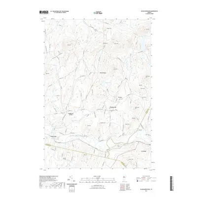
2021 Map of Gilson Mountain
USGS Topo · Published 2021About this map
The Lamoille River winds through the southern reaches of this Vermont landscape, providing a geographical anchor for the rural communities of Fairfax Falls and Cambridge. This interior section of Franklin County is defined by the high ground of the Green Mountains, where peaks like Gilson Mtn, Buck Mtn, and Leach Hill dominate the horizon. Between these heights, small hamlets such as Binghamville, Fletcher, and Sanderson Corner sit at the intersection of local roads, maintaining their 19th-century settlement patterns into the modern era.
Find a feature on this map
113 named features on this map. Tap any name to fly to it.
Don’t see what you’re looking for? This feature index may not catch every label — zoom into the map to look around manually.
Map Details
Editions of this 2021 Gilson Mountain Map
This is the sole edition of this map. No revisions or reprints were ever made.
Other maps of this area

1913 · Milton
USGS Topo · 1:48,000

1914 · St. Albans
USGS Topo · 1:48,000

1915 · Milton
USGS Topo · 1:62,500

1916 · St. Albans
USGS Topo · 1:62,500

1920 · Franklin Pond
USGS Topo · 1:62,500

1922 · Enosburg Falls
USGS Topo · 1:48,000

1924 · Enosburg Falls
USGS Topo · 1:62,500

1925 · Mount Mansfield
USGS Topo · 1:48,000

1927 · Mount Mansfield
USGS Topo · 1:62,500

1943 · St. Albans
USGS Topo · 1:62,500