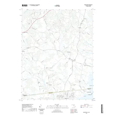
2019 Map of Girdletree
USGS Topo · Published 2019About this map
Greenbackville and Franklin City anchor the southeastern corner of this Delmarva Peninsula landscape, where the Maryland Virginia state line cuts through the marshy lowlands of Goose Point Marsh. This coastal transition zone is defined by a complex network of drainage ditches and creeks, such as Marshall Ditch and Mattaponi Cr, that weave through the rural hinterlands of Worcester County and Accomack County.
Find a feature on this map
142 named features on this map. Tap any name to fly to it.
Don’t see what you’re looking for? This feature index may not catch every label — zoom into the map to look around manually.
Map Details
Editions of this 2019 Girdletree Map
This is the sole edition of this map. No revisions or reprints were ever made.
Other maps of this area

1901 · Snow Hill
USGS Topo · 1:62,500

1942 · Chincoteague East
USGS Topo · 1:24,000

1942 · Snow Hill
USGS Topo · 1:24,000

1942 · Wesley
USGS Topo · 1:24,000

1942 · Dividing Creek
USGS Topo · 1:24,000

1943 · Snow Hill
USGS Topo · 1:31,680

1943 · Boxiron
USGS Topo · 1:31,680

1943 · Dividing Creek
USGS Topo · 1:31,680
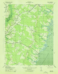
1943 · Wesley
USGS Topo · 1:31,680

1943 · Chincoteague West
USGS Topo · 1:31,680