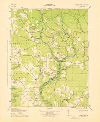
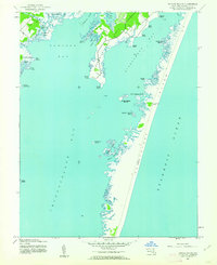
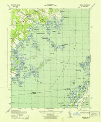
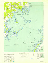
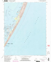
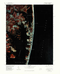
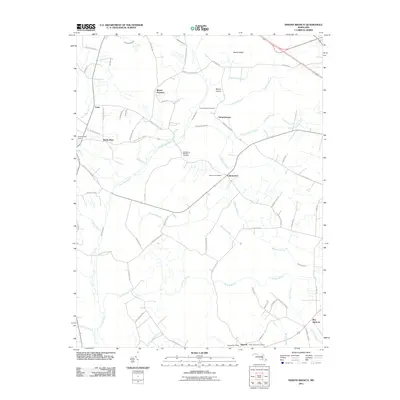
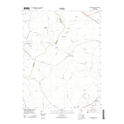
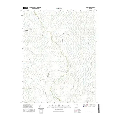
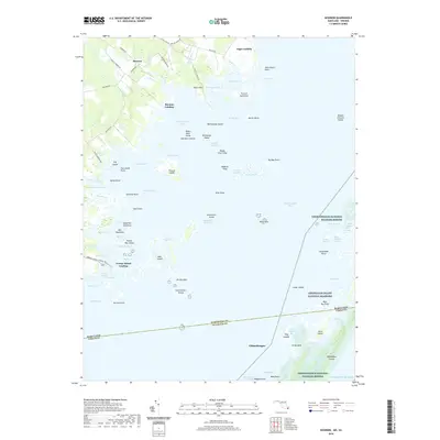
1943 Map of Dividing Creek
USGS Topo · Published 1943About this map
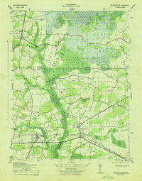
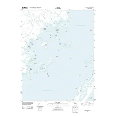
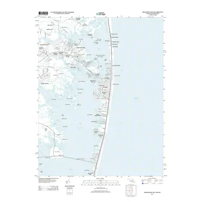
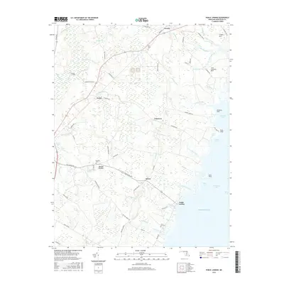
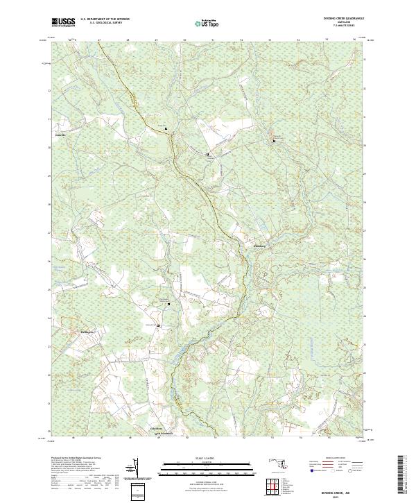
Dividing Creek serves as the winding natural boundary between Somerset and Worcester Counties in this wartime topographic survey. The landscape is defined by its extensive wetlands, including Dublin Swamp and the uniquely named Peggy Boston Swamp, which flank a network of small agricultural settlements and rural infrastructure. A distinct pattern of local community life is visible through the positioning of the Ridgehill School and Adkinson School, alongside numerous country sanctuaries like Friendship Church and Olivet Church. The map documents a period of managed conservation with the Pusey State Game Refuge and a designated Wildlife Demonstration Area near Wellington. These features, combined with the presence of multiple azimuth marks such as McGrath AZ MK, reflect the technical precision required for this 1943 War Department project.
Find a feature on this map
40 named features on this map. Tap any name to fly to it.
Don’t see what you’re looking for? This feature index may not catch every label — zoom into the map to look around manually.
Map Details
Editions of this 1943 Dividing Creek Map
This is the sole edition of this map. No revisions or reprints were ever made.
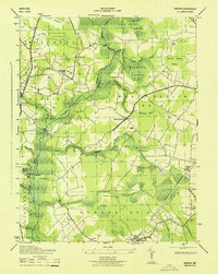
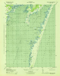
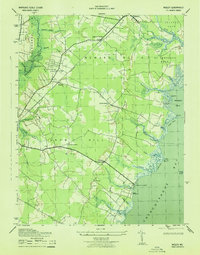
Historical Maps of Cokesbury Through Time
66 maps found
1901 Green Run
Worcester County, MD
1938 Green Run
Worcester County, MD

1942 Dividing Creek
Worcester County, MD
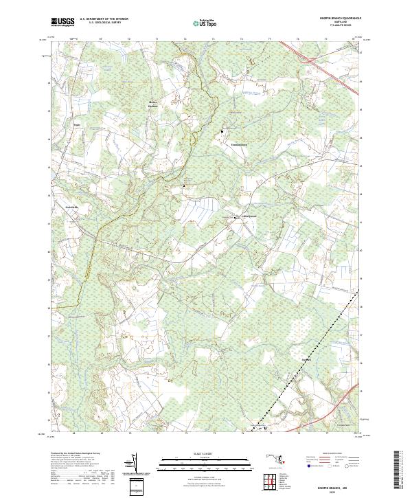
1942 Ninepin
Worcester County, MD
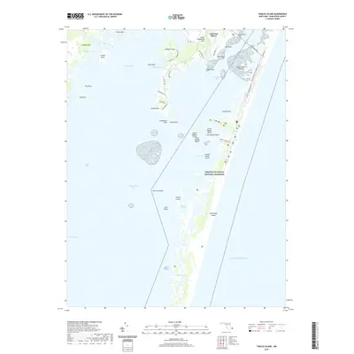
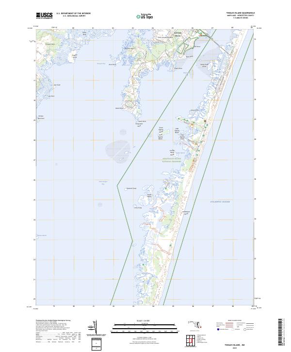
1942 Tingles Island
Worcester County, MD
1942 Wesley
Worcester County, MD
1942 Whaleysville
Worcester County, MD
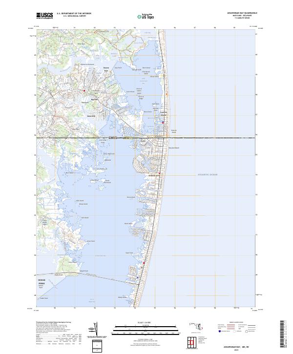
1943 Assawoman Bay
Worcester County, MD
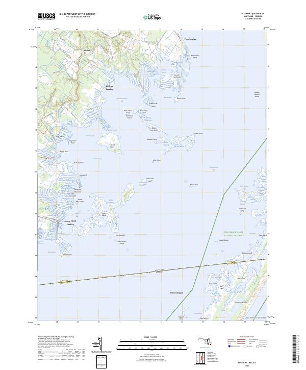
1943 Boxiron
Worcester County, MD
1943 Dividing Creek
Worcester County, MD
1943 Ninepin
Worcester County, MD
1943 Tingles Island
Worcester County, MD
1943 Wesley
Worcester County, MD
1943 Whaleysville
Worcester County, MD
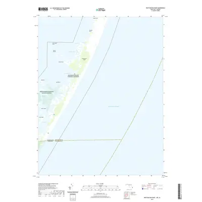
1943 Whittington Point
Worcester County, MD
1944 Green Run
Worcester County, MD
1953 Assawoman Bay
Worcester County, MD
1953 Boxiron
Worcester County, MD
1953 Whittington Point
Worcester County, MD
1964 Boxiron
Worcester County, MD
1964 Tingles Island
Worcester County, MD
1964 Whittington Point
Worcester County, MD
1967 Assawoman Bay
Worcester County, MD
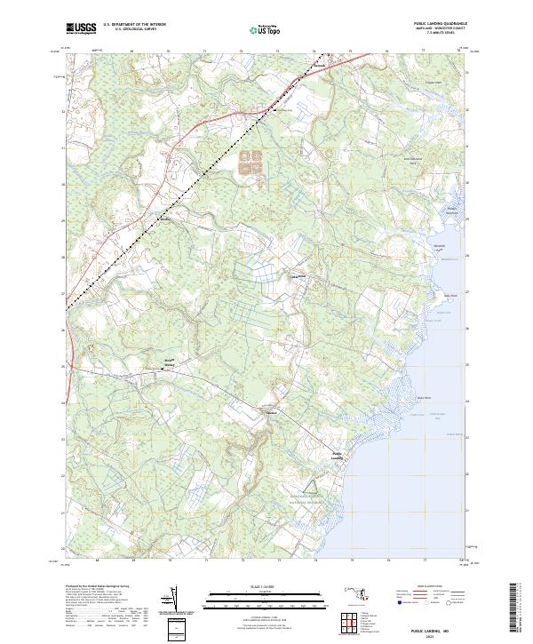
1967 Public Landing
Worcester County, MD
1973 Dividing Creek
Worcester County, MD
1980 Assawoman Bay
Worcester County, MD
1982 Ninepin Branch
Worcester County, MD
1992 Assawoman Bay
Worcester County, MD
1992 Whaleysville
Worcester County, MD
1997 Assawoman Bay
Worcester County, MD
1998 Tingles Island
Worcester County, MD
2011 Boxiron
Worcester County, MD
2011 Dividing Creek
Worcester County, MD
2011 Ninepin Branch
Worcester County, MD
2011 Public Landing
Worcester County, MD
2011 Tingles Island
Worcester County, MD
2011 Whittington Point
Worcester County, MD
2013 Assawoman Bay
Worcester County, MD
2014 Assawoman Bay
Worcester County, MD
2014 Boxiron
Worcester County, MD
2014 Dividing Creek
Worcester County, MD
2014 Ninepin Branch
Worcester County, MD
2014 Public Landing
Worcester County, MD
2014 Tingles Island
Worcester County, MD
2014 Whittington Point
Worcester County, MD
2016 Assawoman Bay
Worcester County, MD
2016 Boxiron
Worcester County, MD
2016 Dividing Creek
Worcester County, MD
2016 Ninepin Branch
Worcester County, MD
2016 Public Landing
Worcester County, MD
2016 Tingles Island
Worcester County, MD
2016 Whittington Point
Worcester County, MD
2019 Assawoman Bay
Worcester County, MD
2019 Boxiron
Worcester County, MD
2019 Dividing Creek
Worcester County, MD
2019 Ninepin Branch
Worcester County, MD
2019 Public Landing
Worcester County, MD
2019 Tingles Island
Worcester County, MD
2019 Whittington Point
Worcester County, MD
2023 Assawoman Bay
Worcester County, MD
2023 Boxiron
Worcester County, MD
2023 Dividing Creek
Worcester County, MD
2023 Ninepin Branch
Worcester County, MD
2023 Public Landing
Worcester County, MD
2023 Tingles Island
Worcester County, MD
2023 Whittington Point
Worcester County, MD